Devala, India
Devala is a town in the Nilgiris district of Tamil Nadu. It is situated at about 16 km from Gudalur on the Gudalur–Pandalur road. A stream originating from here flows to Kerala and reaches Maruthappuzha in Malappuram district of Kerala.
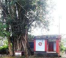
Bhajana Temple at School Road, Devala.
Devala | |
|---|---|
Village | |
| Nickname(s): Cherrapunji of the South, Second Cherrapunji | |
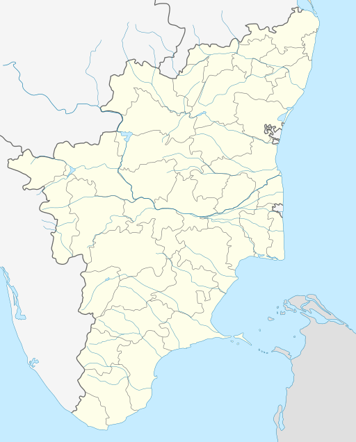 Devala Location in Tamil Nadu, India | |
| Coordinates: 11°29′N 76°24′E | |
| Country | |
| State | Tamil Nadu |
| District | Nilgiris |
| Population | |
| • Total | 600,000 approx |
| Languages-Tamil | |
| • Official | Tamil |
| Time zone | UTC+5:30 (IST) |
| PIN | 643270 |
| Telephone code | CODE04262 |
| Nearest city | Gudalur (Nilgiris district) |
| Literacy | 58% |
Tourism
Devala is a very scenic place with undulating tea estates and lush green villages. When it rains it pours here, that is the reason it is called the Cherrapunji of the south. There is no accommodation available in this little town. There are a few gold mines in and around Devala at kaithakolly village, ponnur, ponvayal. Devala has got a police station. Devala also has got many tea factories. Devala also shares its border with kerala state, marutha panchayath (malappuram dist.)
gollark: 70000? Oh BEE, heavserver has a long way to go.
gollark: But bridge good, however?
gollark: You know, maybe I should move the bridge code out onto some other server.
gollark: ABR is... not... up?
gollark: ++magic reload_ext irc_link
See also
- Pandallur town
- Mango Orange village
This article is issued from Wikipedia. The text is licensed under Creative Commons - Attribution - Sharealike. Additional terms may apply for the media files.