Danestown Fort
Danestown Fort is a ringfort (rath) and National Monument located in County Meath, Ireland.[1]
Ráth Bhaile an Dainigh | |
 | |
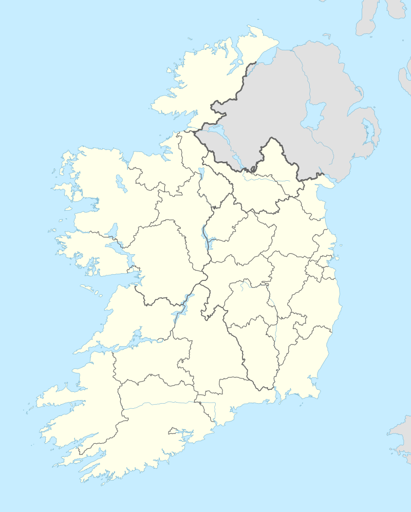 Shown within Ireland | |
| Location | Danestown, County Meath, Ireland |
|---|---|
| Coordinates | 53.624134°N 6.523275°W |
| Type | Ringfort |
| Area | 1,661 square metres (0.410 acres) |
| Diameter | 46 metres (151 ft) |
| History | |
| Material | earth |
| Founded | AD 500–1000 |
| Periods | Middle Ages |
| Designation | National Monument |
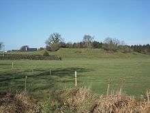
Location
Danestown ringfort is located about 700 metres (770 yd) southeast of Kentstown and on the south bank of the Nanny River, a Boyne tributary.
Description
The inner raised circular platform is over 4 metres (13 ft) high with a deep fosse (ditch) and outer bank; the outer bank is over 2 metres (6.6 ft) high in places.[2]
gollark: Which is more than one thing, yes.
gollark: I have multiple devices, and would be annoyed if I had to use just *one* for captchas.
gollark: Assuming you can't read the secrets out of them somehow, which is unlikely.
gollark: But yes, I don't see how it would be much of an obstacle having to operate a bunch of SIM cards somewhere.
gollark: Okay, that's fair, to do that you would probably need an exploit in the SIM cards. (to do it with random people's devices)
This article is issued from Wikipedia. The text is licensed under Creative Commons - Attribution - Sharealike. Additional terms may apply for the media files.