Dalton Municipal Airport
Dalton Municipal Airport (IATA: DNN, ICAO: KDNN, FAA LID: DNN) is a city-owned public-use airport located six miles (10 km) southeast of the central business district of Dalton, a city in Whitfield County, Georgia, United States.[1]
Dalton Municipal Airport | |||||||||||
|---|---|---|---|---|---|---|---|---|---|---|---|
| Summary | |||||||||||
| Airport type | Public | ||||||||||
| Owner | City of Dalton | ||||||||||
| Serves | Dalton, Georgia | ||||||||||
| Elevation AMSL | 710 ft / 216 m | ||||||||||
| Website | www.cityofdalton-ga.gov/... | ||||||||||
| Runways | |||||||||||
| |||||||||||
| Statistics (2007) | |||||||||||
| |||||||||||
Facilities and aircraft
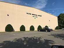
Dalton Municipal Airport Hangar building
Dalton Municipal Airport taken from the tarmac
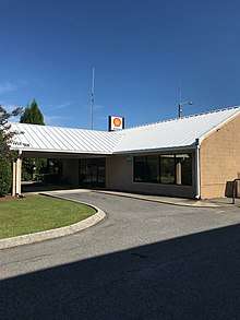
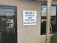
Dalton Municipal Airport lobby entrance
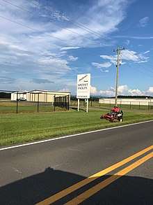
Dalton Municipal Airport taken from the road approaching
Dalton Municipal Airport covers an area of 554 acres (224 ha) and contains one asphalt paved runway designated 14/32 which measures 5,500 by 100 ft (1,676 by 30 m). For the 12-month period ending May 24, 2007, the airport had 24,000 aircraft operations, an average of 65 per day: 99% general aviation and 1% military.[1]
gollark: It's skynet.send(channel, message).
gollark: No, of course not.
gollark: You should just stick computers on each and control it via skynet.
gollark: Is it a smart lamp?
gollark: Ah.
References
- FAA Airport Master Record for DNN (Form 5010 PDF), effective 2007-10-25
External links
- Dalton Municipal Airport at City of Dalton web site
- Resources for this airport:
- FAA airport information for DNN
- AirNav airport information for KDNN
- ASN accident history for DNN
- FlightAware airport information and live flight tracker
- NOAA/NWS weather observations: current, past three days
- SkyVector aeronautical chart, Terminal Procedures
- Dalton Airport facebook page
This article is issued from Wikipedia. The text is licensed under Creative Commons - Attribution - Sharealike. Additional terms may apply for the media files.