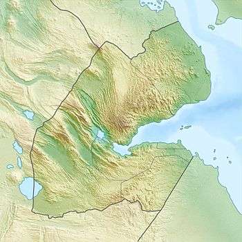
Dagouein Mountain
The Dagouein Mountain is an average elevation of 1,124 metres (3,688 ft) above sea level, is the seventh highest point in Djibouti. The mountain forms one of the geographic resources of the area.
| Dagouein Mountain | |
|---|---|
 Location in Djibouti | |
| Highest point | |
| Elevation | 1,124 m (3,688 ft) |
| Coordinates | 11°01′53″N 42°47′02″E |
| Dimensions | |
| Length | 8 km (5.0 mi) |
| Width | 2 km (1.2 mi) |
| Area | 20 km2 (7.7 sq mi) |
| Geography | |
| Country | |
| Region | Ali Sabieh Region |
History
The first known people that inhabited the mountain are the Issa Somali. The most famous town in the area is the town of Assamo located 9 km southeast. The principal languages spoken in the area are Somali.
Climate and Geography
The Dagouein Mountain lie south of the Ali Sabieh Region in Djibouti. The altitude and size of the range affects the climate in the mountains precipitation levels vary greatly and climatic conditions consist of distinct zones. Wildlife live in the higher peaks to elevations of 1,124 m (3,688 ft). The mountain is located approximately 20 kilometres (12 mi) south east of Ali Sabieh, 9 kilometres (5 mi) from Assamo by road. It's near the Ethiopia border