Dadwal
Ḍaḍwāl[1] (Pashto: ډډوال) is a village and the center of Mando Zay District in Khost Province, Afghanistan. It is located on 33.3103°N 69.7992°E at 1267m altitude on south side of Shamal river, it is connected to north a village Aliwat by a bridge which constructed by US army (PRT). The villagers are mostly educated and trained in different jobs. There is girls high school.
Dadwal ډډوال | |
|---|---|
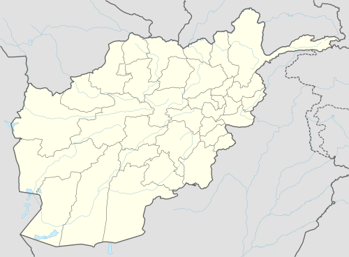 Dadwal Location in Afghanistan | |
| Coordinates: 33°18′37″N 69°47′57″E | |
| Country | |
| Province | Khost Province |
| District | Mando Zay District |
| Elevation | 1,267 m (4,157 ft) |
| Time zone | UTC+4:30 |
See also
References
- "Dadwal". GEOnet Names Server. Retrieved 13 November 2019.
External links
- Dadwal can be found at GEOnet Names Server, at this link, by opening the Advanced Search box, entering "-3372585" in the "Unique Feature Id" form, and clicking on "Search Database".
This article is issued from Wikipedia. The text is licensed under Creative Commons - Attribution - Sharealike. Additional terms may apply for the media files.