Dabar, Lika-Senj County
Dabar is a village in Croatia, 21 km northeast of Otočac and a part of the Town of Otočac municipality.
Dabar | |
|---|---|
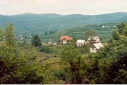 Scattered settlement Dabar. | |
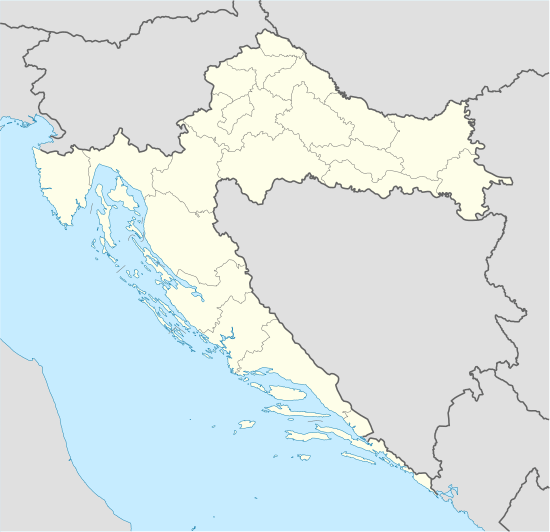 Dabar Location of Dabar in Croatia | |
| Coordinates: 44°57′18″N 15°18′10″E | |
| Country | Croatia |
| County | Lika-Senj County |
| Town | Otočac |
| Elevation | 552 m (1,811 ft) |
| Population (2011)[1] | |
| • Settlement | 118 |
| Time zone | UTC+1 (CET) |
| • Summer (DST) | UTC+2 (CEST) |
| Postal code | 53222 |
| Area code | +385-53 |
| License plates | GS |
History
The ruins of a fortress called by the folk Sokolić rise on Vučjak hill; it has a square ground-plan and one cylindrical angle tower. First mentioned in 1499 as a fortress of the Frankopans, remained a borderline stronghold until the Turks were expelled from Lika. In 1773 already a "completely demolished town".
Gallery
 Main catholic church
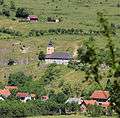
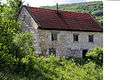 Nekić House, the former homestead
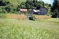 Bridge of Dabar. Geographically, the lowest point
gollark: If someone asks for a thing, it's entirely conversationally relevant to give them it.
gollark: Just ban *unsolicited* invites.
gollark: I disagree, as ever.
gollark: You could list "endorsed" things.
gollark: That's not entirely true. If we force everyone to use a strongly typed language for interaction, we could enforce MANY invariants.
References
- "Population by Age and Sex, by Settlements, 2011 Census: Dabar". Census of Population, Households and Dwellings 2011. Zagreb: Croatian Bureau of Statistics. December 2012.
External links
| Wikimedia Commons has media related to Dabar. |
This article is issued from Wikipedia. The text is licensed under Creative Commons - Attribution - Sharealike. Additional terms may apply for the media files.