Creggankeel Fort
Creggankeel Fort is a stone fort and National Monument located on the island of Inisheer, Ireland. It also contains a later Christian site, the Grave of the Seven Daughters.[2][3]
Dún an Chreagáin Chaoil[1] | |
 Entrance to Cill na Seacht nIníon | |
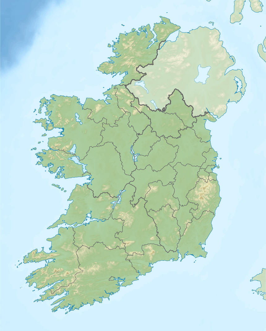
 Shown within Ireland | |
| Location | Inisheer, County Galway, Ireland |
|---|---|
| Region | The Burren, Aran Islands |
| Coordinates | 53.057213°N 9.518475°W |
| Type | Stone fort (cashel) and monastic enclosure |
| History | |
| Material | limestone |
| Founded | After 100 BC |
| Site notes | |
| Ownership | Office of Public Works |
| Public access | yes |
| Designation |
National Monument of Ireland |
Location
Creggankeel Fort is located in the eastern part of Inisheer, overlooking An Loch Mór (the Great Lake, the only freshwater on the island).
History
The name Creggankeel derives from the Irish creagáin chaoil, "narrow stony place." Stone forts ("cashels") of this type were mostly built in Ireland after the 1st century BC.[4] The walls were reused in the 15th century as part of the outer walls of O'Brien's Castle.[5]

The Grave of the Seven Daughters (Cill na Seacht nIníon), also called An Chill Bheannaithe (the blessed graveyard) is an early Christian site associated with the female saint Moninne. It was established around the 5th or 6th century AD.[6]
Description

The fort is formed from two square drystone walls with a cross inscribed onto a pillar-stone.[7][5] The Grave of the Seven Daughters is the incomplete circuit of a cashel; there are sleeping niches in the walls reminiscent of the Roman catacombs.[8][9][10] The foundations of other buildings are also evident.[11]
Nearby is a structure similar to one seen at Cashelmore (Clogher), County Sligo.[12]
References
- "Dún an Chreagáin Chaoil/Creggankeel Fort". Logainm.ie.
- Gosling, Paul (24 September 1993). Archaeological Inventory of County Galway: West Galway (including Connemara and the Aran Islands). Stationery Office. ISBN 9780707603223 – via Google Books.
- Lord Killanin (1951). "The National Monuments of County Galway". Journal of the Galway Archaeological and Historical Society. 24 (3/4): 115–124. JSTOR 25535340.
- "CASHELS, CRANNOGS & SOUTERRAINS". www.irishmegaliths.org.uk.
- Harbison, Peter (24 May 1975). Guide to the national monuments in the Republic of Ireland: including a selection of other monuments not in state care. Gill & Macmillan – via Internet Archive.
Creggankeel Fort.
- "Jul 6 – St Moninne of Killeavy (d.c.518) virgin and foundress".
- Dunraven, Edwin of (24 September 1875). "Notes on Irish Architecture: By Edwin, third Earl of Dunraven. Edited by Margaret Stokes". Gge Bell – via Google Books.
- Halpin, Andrew; Newman, Conor (24 September 2006). Ireland: An Oxford Archaeological Guide to Sites from Earliest Times to AD 1600. Oxford University Press. p. 191. ISBN 9780192806710 – via Internet Archive.
Cill .
- Price, Louise (5 June 2013). "How to make a Field".
- "Inisheer (Inis Oírr)".
- Spellissy, Sean (1 January 1999). The history of Galway. Celtic Bookshop. ISBN 9780953468331 – via Google Books.
- "Creggankeel Fort Inisheer | Galway Forts | Creggankeel Fort Aran Islands".