Crampton's Gap
Crampton's Gap, also known as Crampton Gap, is a wind gap on South Mountain in Maryland.
| Crampton's Gap | |
|---|---|
 Crampton's Gap looking from the south side (Gathland State Park) to the north | |
| Elevation | 928 feet (283 m)[1] |
| Traversed by | Gapland Road |
| Location | Frederick County and Washington County, Maryland, United States |
| Range | South Mountain Blue Ridge Mountains |
| Coordinates | 39°25′N 77°38′W[2] |
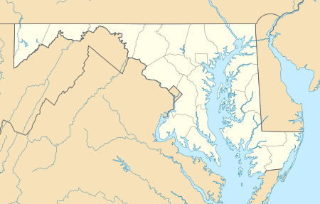 Location of the gap in Maryland | |
The 928 feet (283 m) gap connects Burkittsville in the Middletown Valley to the east with Gapland and Rohrersville in the Pleasant Valley to the west.
The gap is the location of Gathland State Park and was the site of the Battle of Crampton's Gap on September 14, 1862, during the Maryland Campaign of the American Civil War.
References
This article is issued from Wikipedia. The text is licensed under Creative Commons - Attribution - Sharealike. Additional terms may apply for the media files.