Corcoran Airport
Corcoran Airport (IATA: CRO, ICAO: KCRO, FAA LID: CRO) was a public use airport located two nautical miles (3.7 km) west of the central business district of Corcoran, a town in Kings County, California, United States. It is privately owned by Lakeland Dusters, Inc.[1] The airport has been permanently closed.[2]
Corcoran Airport | |||||||||||
|---|---|---|---|---|---|---|---|---|---|---|---|
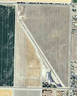 2006 USGS Photo | |||||||||||
| Summary | |||||||||||
| Airport type | Public / PERMANENTLY CLOSED | ||||||||||
| Owner | Lakeland Dusters, Inc. | ||||||||||
| Serves | Corcoran, California | ||||||||||
| Elevation AMSL | 197 ft / 60 m | ||||||||||
| Coordinates | 36°06′10″N 119°35′41″W | ||||||||||
| Map | |||||||||||
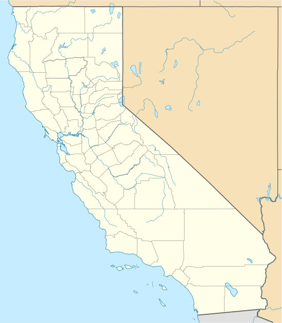 KCRO Location of Corcoran Airport | |||||||||||
| Runways | |||||||||||
| |||||||||||
| Statistics (2007) | |||||||||||
| |||||||||||
Facilities and aircraft
Corcoran Airport covers an area of 220 acres (89 ha) at an elevation of 197 feet (60 m) above mean sea level. It has one asphalt paved runway designated 13/31 which measures 3,800 by 50 feet (1,158 x 15 m). For the 12-month period ending October 3, 2007, the airport had 5,600 aircraft operations, an average of 15 per day, all of which were general aviation. At that time there were 18 aircraft based at this airport: 61% single-engine, 28% jet and 11% helicopter.[1]
World War II
During World War II, the airport was used an auxiliary training airfield for Lemoore Army Airfield, California.
References
![]()
- FAA Airport Master Record for CRO (Form 5010 PDF), effective 2008-04-10
- "CORCORAN". FAA National Flight Data Center. Federal Aviation Administration. Retrieved 10 January 2015.
External links
- Resources for this airport:
- FAA airport information for CRO
- AirNav airport information for CRO
- ASN accident history for CRO
- FlightAware airport information and live flight tracker
- SkyVector aeronautical chart for CRO
| Units |
| .svg.png) | ||||||||||||||
|---|---|---|---|---|---|---|---|---|---|---|---|---|---|---|---|---|