Corbetta (mountain)
Corbetta (1,401 m) is a mountain of the Swiss Prealps, in the canton of Fribourg.
| Corbetta | |
|---|---|
.jpg) View of the summit of Corbetta | |
| Highest point | |
| Elevation | 1,401 m (4,596 ft) |
| Prominence | 204 m (669 ft) [1] |
| Coordinates | 46°30′44″N 6°56′06″E |
| Geography | |
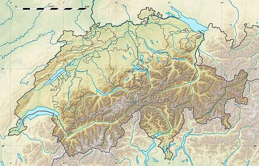
 Corbetta Location in Switzerland | |
| Location | Fribourg, Switzerland |
| Parent range | Swiss Prealps |
Geography
Situation
Corbetta stands between the Swiss plateau and the Swiss Alps. The city of Châtel-St-Denis and the A12 motorway are located on its western foot. The village of Les Paccots is located on its north and east slopes.
The panorama from its summit offers a nice view on the Dent de Lys, the lake of Geneva and the Jura Mountains.
Hydrology
On its north foot lies the Veveyse de Châtel river, feeding the lake of Geneva. On the east foothills, at 1,235 m, lies the protected site of the Lac des Joncs.
Activities
Corbetta slopes are included in the small ski resort of Les Paccots. Three surface lifts bring the skiers to the summit.
gollark: I actually expected it was *higher* than that, but apparently not?
gollark: I think it's around, what, 15%?
gollark: Huh, that's higher than I expected. Being LGBT isn't actually all that common in the general population, after all.
gollark: Mysterious.
gollark: Impressive, Void Linux rootfs musl aarch64 tarballs are only 25MB.
References
- Retrieved from the Swisstopo topographic map (1:25,000). The key col is located near Les Joncs at 1,197 metres.
External links
This article is issued from Wikipedia. The text is licensed under Creative Commons - Attribution - Sharealike. Additional terms may apply for the media files.