Colfax Airport
Colfax Airport (FAA LID: L40) is a public airport located in Colfax, a town in Grant Parish, Louisiana, United States.[1] It is owned by the Town of Colfax.[1]
Colfax Airport | |||||||||||
|---|---|---|---|---|---|---|---|---|---|---|---|
| Summary | |||||||||||
| Airport type | Public | ||||||||||
| Owner | Town of Colfax | ||||||||||
| Serves | Colfax, Louisiana | ||||||||||
| Elevation AMSL | 95 ft / 29 m | ||||||||||
| Coordinates | 31°30′58″N 092°41′28″W | ||||||||||
| Map | |||||||||||
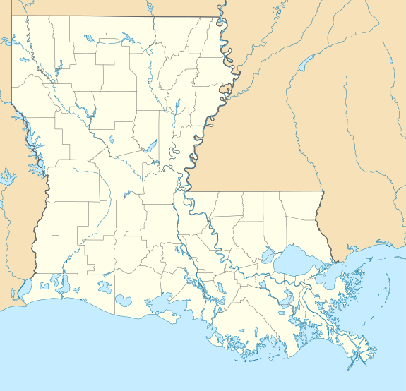 F86 Location of airport in Louisiana | |||||||||||
| Runways | |||||||||||
| |||||||||||
| Statistics (2007) | |||||||||||
| |||||||||||
Facilities and aircraft
Colfax Airport covers an area of 200 acres (81 ha) which contains one runway designated 5/23 with a turf surface measuring 3,000 by 75 feet (914 x 23 m).[1]
For the 12-month period ending April 3, 2007, the airport had 3,500 aircraft operations, an average of nine per day: 86% general aviation and 14% military.[1]
gollark: Those are strings.
gollark: ```luaprint("see, this is much nicer")```
gollark: A backtick is this: `
gollark: Please use codeblocks like this:<backtick backtick backtick>luacode here<backtick backtick backtick>
gollark: Or lwmwfcc for short.
See also
References
- FAA Airport Master Record for L40 – Colfax (Form 5010 PDF). Federal Aviation Administration. Effective October 25, 2007.
External links
- Aerial image as of January 1998 from USGS The National Map
- Aeronautical chart at SkyVector
This article is issued from Wikipedia. The text is licensed under Creative Commons - Attribution - Sharealike. Additional terms may apply for the media files.