Col des Égaux
The Col des Égaux is a Chartreuse Mountains pass rising to 958 m above sea level and located in the southern French department of Savoie, in Rhône-Alpes.
| Col des Égaux | |
|---|---|
Col des Egaux landscape | |
| Elevation | 958 m (3,143 ft) |
| Traversed by | D45 |
| Location | Savoie, France |
| Range | Alps |
| Coordinates | 45°26′39″N 5°48′42″E |
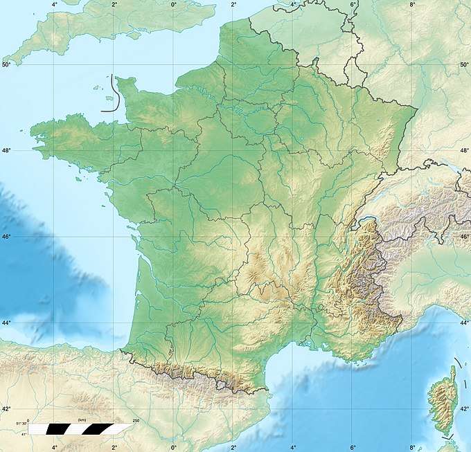
 Col des Égaux Location of Col des Égaux | |
Geography
The Col des Égaux is located near the Égaux hamlet, in the territory of the Corbel district. The Hyères river has its source near the pass.
La Cochette, located at the northeast, is visible from the pass.
gollark: Flexbox™.
gollark: It's easy now.
gollark: Yep!
gollark: I mean, I'm quite good at it.
gollark: I can write it for you, then?
This article is issued from Wikipedia. The text is licensed under Creative Commons - Attribution - Sharealike. Additional terms may apply for the media files.