Chowchilla Airport
Chowchilla Airport (FAA LID: 2O6) is a public airport located one mile (1.6 km) southeast of Chowchilla, serving Madera County, California, USA. The airport is mostly used for general aviation.
Chowchilla Airport | |||||||||||
|---|---|---|---|---|---|---|---|---|---|---|---|
| Summary | |||||||||||
| Airport type | City of Chowchilla | ||||||||||
| Operator | Chowchilla, California | ||||||||||
| Location | 242 | ||||||||||
| Elevation AMSL | 73.8 ft / 22 m | ||||||||||
| Coordinates | 37°06′45″N 120°14′49″W | ||||||||||
| Map | |||||||||||
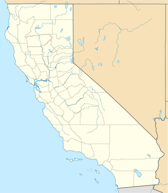 206 Location of airport in California | |||||||||||
| Runways | |||||||||||
| |||||||||||
Facilities
Chowchilla Airport covers 75 acres (300,000 m2) and has one runway:
- Runway 12/30: 3,250 x 60 ft (991 x 18 m), Surface: Asphalt
gollark: Oh, the "martian" thing from CS?
gollark: ussr badcommunism bad
gollark: <:USSR_Flag:723510777725714483> ❓ <:crow_of_judgement:724658449174233169>
gollark: Hmm. It's very ☭. I dislike it.
gollark: So I should start randomly using it for normal traffic?
External links
- Resources for this airport:
- FAA airport information for 2O6
- AirNav airport information for 2O6
- FlightAware airport information and live flight tracker
- SkyVector aeronautical chart for 2O6
This article is issued from Wikipedia. The text is licensed under Creative Commons - Attribution - Sharealike. Additional terms may apply for the media files.