Chowari
Chowari (also known as Chuari Khas or Chuāri Khās) is a town and a Nagar Panchayat (City Council) in Chamba district, in the Indian state of Himachal Pradesh.
Chowari | |
|---|---|
Town | |
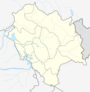 Chowari Location in Himachal Pradesh  Chowari Chowari (India) | |
| Coordinates: 32.433331°N 76.016673°E | |
| Country | India |
| State | Himachal Pradesh |
| District | Chamba |
| Elevation | 1,202 m (3,944 ft) |
| Population (2011) | |
| • Total | 3,770 |
| Languages | |
| • Official | Hindi |
| Time zone | UTC+5:30 (IST) |
| Post code | 176302 |
| Area code(s) | +91-18992-xxxxx |
| Vehicle registration | HP-57 |
| Website | hpchamba |
Geography
Chowari is located at 32°26′N 76°01′E. It has an average elevation of 1,202 metres (3,944 ft).[1]
Demographics
As of 2001 India census, Chowari had a population of 3016.[2] Males constitute 52% of the population and females 48%. Chowari has an average literacy rate of 76%, higher than the national average of 59.5%; male literacy is 81% and female literacy is 70%. In Chowari, 12% of the population is under 6 years of age.
gollark: It's a solved problem.
gollark: … NTP, too? Or PTP.
gollark: We can get good clock sync easily from GPS.
gollark: Anyway, I don't see why you'd want this stuff to be asynchronous?
gollark: I said retroactively.
References
| Wikivoyage has a travel guide for Chowari. |
- Falling Chuari Khas, India Page. Rain Genomics, Inc.
- "Census of India 2001: Data from the 2001 Census, including cities, villages and towns (Provisional)". Census Commission of India. Archived from the original on 16 June 2004. Retrieved 1 November 2008.
This article is issued from Wikipedia. The text is licensed under Creative Commons - Attribution - Sharealike. Additional terms may apply for the media files.