Cedar Creek (Delaware Bay tributary, Delaware)
Cedar Creek is a 16.09 mi (25.89 km) long 4th order tributary to Delaware Bay in Sussex and Kent Counties, Delaware.
| Cedar Creek Tributary to Delaware Bay | |
|---|---|
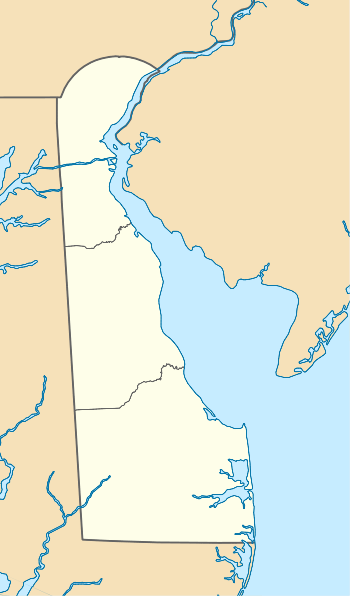 Location of Cedar Creek mouth  Cedar Creek (Delaware Bay tributary, Delaware) (the United States) | |
| Location | |
| Country | United States |
| State | Delaware |
| County | Sussex Kent |
| Physical characteristics | |
| Source | Gum Branch divide |
| • location | about 1 mile west of Hudson Pond Acres, Delaware |
| • coordinates | 38°48′57″N 075°27′17″W[1] |
| • elevation | 0 ft (0 m)[2] |
| Mouth | Delaware Bay |
• location | Mispillion Light, Delaware |
• coordinates | 38°56′52″N 075°18′48″W[1] |
• elevation | 55 ft (17 m)[2] |
| Length | 16.09 mi (25.89 km)[3] |
| Basin size | 50.01 square miles (129.5 km2)[4] |
| Discharge | |
| • location | Delaware Bay |
| • average | 61.80 cu ft/s (1.750 m3/s) at mouth with Delaware Bay[4] |
| Basin features | |
| Progression | northeast |
| River system | Delaware Bay |
| Tributaries | |
| • left | Beaverdam Branch |
| • right | Church Branch Slaughter Creek |
| Bridges | North Union Church Road, US 113, DE 213, Greentop Road, Clendaniel Pond Road, Fleatown Road, DE 30, DE 1, Bay Avenue (DE 36) |
Variant names
According to the Geographic Names Information System, it has also been known historically as:[1]
- Slaughter Creek
Course
Cedar Creek rises on the Gum Branch divide about 1 mile west of Hudson Pond Acres, Delaware. Cedar Creek then flows northeast to meet Delaware Bay by Mispillion Light.[2]
Watershed
Cedar Creek drains 50.01 square miles (129.5 km2) of area, receives about 45.5 in/year of precipitation, has a topographic wetness index of 694.36 and is about 9% forested.[4]
gollark: But in general Markdown has weird features which interact in weird ways, and if you can get away with it, some HTML-type thing is probably easier since it's at least consistent (not actual HTML5).
gollark: *Only* doing codeblocks is easy enough, sure.
gollark: I think you're underestimating the difficulty of Markdown parsing, or at least Markdown parsing covering a decent amount of the weirdness properly.
gollark: Basically, it does includes and stuff *once* when you compile a site, instead of on the client inelegantly.
gollark: <@!209142270195138560> Instead of having JS to embed navbars on every page, consider a static site generator.
References
- "GNIS Detail - Cedar Creek". geonames.usgs.gov. US Geological Survey. Retrieved 26 November 2019.
- "Cedar Creek Topo Map, Sussex County DE (Mispillion River Area)". TopoZone. Locality, LLC. Retrieved 26 November 2019.
- "ArcGIS Web Application". epa.maps.arcgis.com. US EPA. Retrieved 26 November 2019.
- "Cedar Creek Watershed Report". Waters Geoviewer. US EPA. Retrieved 26 November 2019.
This article is issued from Wikipedia. The text is licensed under Creative Commons - Attribution - Sharealike. Additional terms may apply for the media files.