Casummit Creek
Casummit Creek is a creek in Kenora District, Ontario, Canada. It flows 5 kilometres (3.1 mi) from Casummit Lake at an elevation of 391 metres (1,283 ft) to Birch Lake at an elevation of 388 metres (1,273 ft), whose waters flow via the Birch River, Cat River and Albany River into James Bay. There are three tributaries, all unnamed creeks, two from the left and one from the right. A portage leads from Birch Lake to just west of the Casummit Creek source point.
| Casummit Creek | |
|---|---|
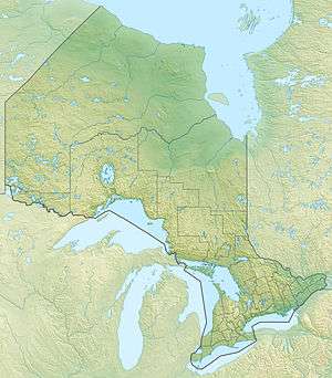 Location of the mouth of Casummit Creek in Ontario | |
| Location | |
| Country | Canada |
| Province | Ontario |
| District | Kenora District |
| Physical characteristics | |
| Source | Casummit Lake |
| • coordinates | 51°27′51″N 92°21′47″W |
| • elevation | 391 m (1,283 ft) |
| Mouth | Birch Lake |
• coordinates | 51°27′15″N 92°18′45″W |
• elevation | 388 m (1,273 ft) |
| Length | 5 km (3.1 mi) |
| Basin features | |
| River system | James Bay drainage basin |
See also
References
- "Casummit Creek". Geographical Names Data Base. Natural Resources Canada. Retrieved 2010-02-18.
- "Toporama - Topographic Map Sheet 52N8". Atlas of Canada. Natural Resources Canada. Archived from the original on 2010-08-31. Retrieved 2010-02-18.
This article is issued from Wikipedia. The text is licensed under Creative Commons - Attribution - Sharealike. Additional terms may apply for the media files.