Carlit
Pic Carlit (Puig Carlit in Catalan) is a mountain of Pyrénées-Orientales, France. Located in the Pyrenees, it has an elevation of 2,921 metres above sea level.
| Carlit | |
|---|---|
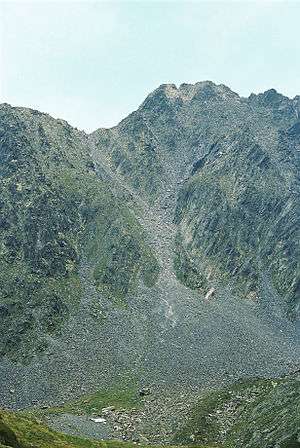 North face of Carlit, summer 2007 | |
| Highest point | |
| Elevation | 2,921 m (9,583 ft) |
| Prominence | 2,917 m (9,570 ft) |
| Coordinates | 42°34′11″N 1°55′55″E |
| Geography | |
 Carlit Location in the Pyrenees | |
| Location | Pyrénées-Orientales, France |
| Parent range | Pyrenees |
History
Henry Russell is known to have made the first ascent of the Pic Carlit in 1864, where he was fascinated by the beautiful view of the Étang du Lanoux, the biggest lake of the Pyrénées.[1]
gollark: It's mostly just code examples and a bit of annotation.
gollark: Also, the documentation is kind of lacking.
gollark: It's primarily that the whole thing seems to be a mess of workarounds and bugs.
gollark: I mean "require [badly named thing.lua]" in files which need it.
gollark: Where they're needed, that is.
References
- Cárdenas, Fabricio (2014). 66 petites histoires du Pays Catalan [66 Little Stories of Catalan Country] (in French). Perpignan: Ultima Necat. ISBN 978-2-36771-006-8. OCLC 893847466.
This article is issued from Wikipedia. The text is licensed under Creative Commons - Attribution - Sharealike. Additional terms may apply for the media files.