Cape Steen Bille
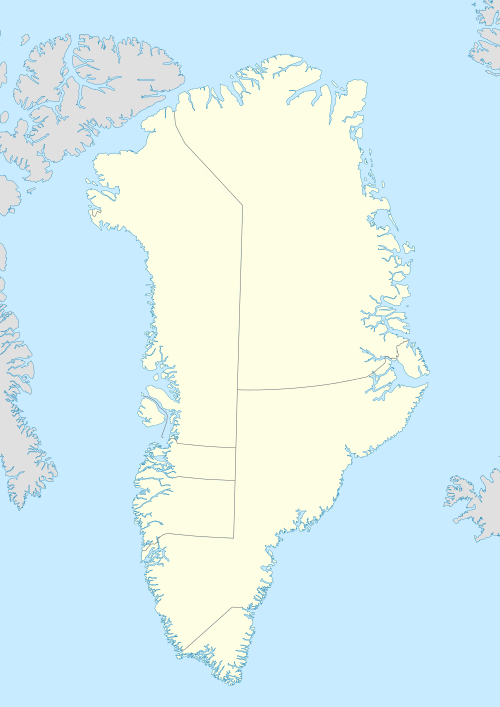
Cape Steen Bille (Danish: Kap Steen Bille) or Kap Bille, also known as Kangeq, is a headland in the North Atlantic Ocean, southeast Greenland, Kujalleq municipality.[1]
| Cape Steen Bille | |
|---|---|
| Kap Steen Bille, Kangeq | |
 | |
| Location | King Frederick VI Coast |
| Coordinates | 62°0′N 42°7′W |
| Offshore water bodies | North Atlantic Ocean |
| Elevation | 640 m (2,100 ft) |
| Area | Arctic |
History
Cape Steen Bille was named in 1829 by Lieutenant Wilhelm August Graah (1793–1863) after Steen Andersen Bille (1797–1883), Danish Royal Navy vice-admiral and minister for the navy.
Fridtjof Nansen visited the area in 1888 before his crossing of the Greenland ice sheet from the east.
Geography
Cape Steen Bille is a promontory of yellowish rock located in the Puisortoq area 19 km (12 mi) south of Cape Cort Adelaer.[2] The cluster of the Otto Rud Islands lies to the NNW around the cape.[3]
 Southeast-Greenland Inuit bidding farewell to Fridtjof Nansen at Kap Steen Bille in 1888. |
gollark: Well, there is the clone of this I artificially aged 8126876178%.
gollark: Interesting question.
gollark: Oh, and it doesn't really have `i` because DNS queries can turn up basically anywhere ever.
gollark: I suppose it could just be moved to `#b`.
gollark: The DNS bridge bit, anyway.
References
- Den grønlandske Lods - Sejladsanvisninger Østgrønland, p. 49
- Prostar Sailing Directions 2005 Greenland and Iceland Enroute, p. 100
- "Kap Steen Bille". Mapcarta. Retrieved 31 May 2019.
External links
This article is issued from Wikipedia. The text is licensed under Creative Commons - Attribution - Sharealike. Additional terms may apply for the media files.