Cape Robertson, Greenland
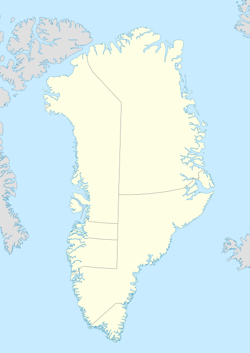
Cape Robertson (Danish: Kap Robertson), also known as Tuloriok, is a headland in Northwest Greenland, Avannaata municipality.
| Cape Robertson | |
|---|---|
| Kap Robertson, Tuloriok | |
 | |
| Location | NW Greenland |
| Coordinates | 77°47′N 71°25′W |
| Offshore water bodies | Murchison Sound Baffin Bay |
| Elevation | 4 metres (13 feet) |
| Area | Arctic |
Geography
Cape Robertson is located in the northern shore of Murchison Sound, Baffin Bay.[1] it rises at the end of a promontory east of the mouth of Robertson Fjord and west of MacCormick Fjord.[2]
 Map of Northwestern Greenland |
.jpg) 19th century map of the Inglefield Gulf. |
gollark: It isn't that much unless the nuclear reactor is just bad.
gollark: People will wake up very early.
gollark: So *everyone* gets exactly 2 spells a day shared?
gollark: From what? They have no context except a bunch of code they also can't read.
gollark: Most useful access to it requires an account. Nobody knows how to make one, especially as the authentication mechanisms it relied on are all down, but fortunately a "try APL" REPL with more permissions than it probably should have still functions and allows anonymous access.
References
- "Kap Robertson". Mapcarta. Retrieved 29 May 2019.
- Prostar Sailing Directions 2005 Greenland and Iceland Enroute, p. 88
External links
This article is issued from Wikipedia. The text is licensed under Creative Commons - Attribution - Sharealike. Additional terms may apply for the media files.