Cape Peary
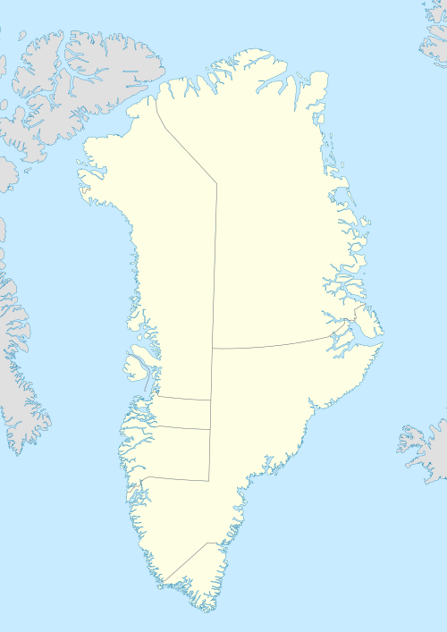
Cape Peary (Danish: Kap Peary) is a headland in the Avannaata municipality, NW Greenland.[2]
| Cape Peary | |
|---|---|
| Kap Peary | |
 | |
| Location | Avannaata, Greenland |
| Coordinates | 76°48′52″N 70°3′27″W |
| Offshore water bodies | Granville Fjord Baffin Bay |
| Elevation | 650 m (2,130 ft)[1] |
| Area | Arctic |
This cape was named after US Arctic explorer Robert Peary (1856 - 1920).
Geography
Cape Peary is located on the eastern side of the shore of Granville Fjord just north of the Drinkard Bluff, about 4 km (2.5 mi) north of the fjord's mouth and 8 km (5.0 mi) northwest of the Moriusaq Inuit settlement.[3]
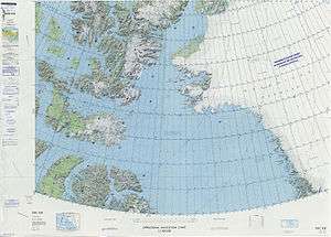
 Map of Northwestern Greenland |
gollark: Rust.js.
gollark: ?remind 4d don't stop with the reminders.
gollark: It basically allows you to safely encapsulate an unsafe IO action, since nobody will be able to use it since they won't understand the type.
gollark: ```haskells x k = k (\x y z -> x y y (z y x)) x unsafePerformIO```
gollark: Do you want me to *embed* Z or...?
See also
References
- Geology of Greenland Survey Bulletin 174, 1997, p. 120 - GEUS
- Geonames; Kap Peary: Greenland
- "Kap Peary". Mapcarta. Retrieved 21 June 2019.
This article is issued from Wikipedia. The text is licensed under Creative Commons - Attribution - Sharealike. Additional terms may apply for the media files.