Cape James Hill
Cape James Hill (Danish: Kap James Hill) is a headland in the Wandel Sea, Arctic Ocean, northeast Greenland.
| Cape James Hill | |
|---|---|
| Kap James Hill | |
 1903 Robert Peary map section showing his 1900 explorations in far Northern Greenland. | |
 | |
| Location | Northeast Greenland National Park, Greenland |
| Coordinates | 83°36′N 30°25′W |
| Offshore water bodies | Wandel Sea, Arctic Ocean |
| Area | Arctic |
The cape was named by Robert Peary after James J. Hill, one of the members of the Peary Arctic Club in New York.[1]
Geography
Cape James Hill is located east of Cape Morris Jesup, Peary Land, between Constable Bay to the west and Bliss Bay to the east.[2] It is the nearest land to Kaffeklubben Island (Oodaap Qeqertaa) located about 9 km (5.6 mi) to the northeast.[3] Administratively it is part of the Northeast Greenland National Park.
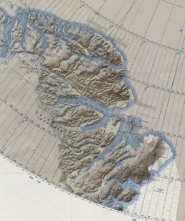 Map of Greenland section. |
gollark: PotatOS with extended monitoring turned on logs every event but timers.
gollark: It's actually the potatOS logs storage.
gollark: How do you have my head?!
gollark: I hope it is investigatized investigazotobly.
gollark: No, it depends on the seed.
References
- Robert E. Peary, Nearest the Pole: A Narrative of the Polar Expedition of the Peary Arctic Club in the S. S. Roosevelt, 1905 -1906. p. 329
- Prostar Sailing Directions 2005 Greenland and Iceland Enroute, p. 130
- "Kap James Hill". Mapcarta. Retrieved 11 February 2019.
External links
This article is issued from Wikipedia. The text is licensed under Creative Commons - Attribution - Sharealike. Additional terms may apply for the media files.