Cape Brewster
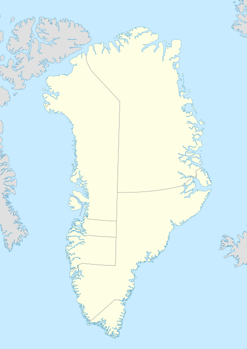
Cape Brewster (Danish: Kap Brewster; Greenlandic: Kangikajik, meaning 'the bad cape') is a headland in the Greenland Sea, east Greenland, Sermersooq municipality.
| Cape Brewster | |
|---|---|
| Kangikajik | |
 | |
| Location | Sermersooq, Greenland |
| Coordinates | 70°9′N 22°3′W |
| Offshore water bodies | Greenland Sea |
| Elevation | 1200 |
| Area | Arctic |
History
This headland was named Cape Brewster by William Scoresby (1789 – 1857) in 1822 to honour his friend, inventor David Brewster (1781–1868).[1]
Geography
Cape Brewster is the easternmost point of the jagged and mountainous Savoia Peninsula and the northernmost point of the Blosseville Coast.[2]
It is located at the end of the southern side of the mouth of the Scoresby Sound, opposite Cape Tobin (Uunarteq).[3] The cape lies in the desolate and impressive area of the southern shore of the sound with steep dark basalt walls rising between 1,000 and 2,000 m (3,280-6,560 ft).[4]
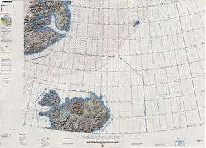
 Map of NE Greenland and Iceland. |
gollark: Early versions of mine circa 2016 did, but now it's all statically compiled.
gollark: I don't really like HTML itself as it's pretty verbose.
gollark: But it has *brackets* and *semicolons* in it.
gollark: I'm using SASS, which is a dedicated language for CSS and seems pretty nice too.
gollark: https://hackage.haskell.org/package/clay
See also
References
- Place names, NE Greenland
- Prostar Sailing Directions 2005 Greenland and Iceland Enroute, p. 111
- Kap Tobin
- Kap Brewster
External links
This article is issued from Wikipedia. The text is licensed under Creative Commons - Attribution - Sharealike. Additional terms may apply for the media files.