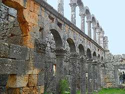
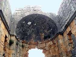
Cambazlı ruins
Geography
Cambazlı is in the plateau to the south of the Toros Mountains at 36°35′N 34°02′E which is a part of a wide region which was called Cilicia Trachaea in the antiquity. It is situated in a village with the same name. Administratively, it is part of Silifke district of Mersin Province. Its distance to Silifke is 30 kilometres (19 mi) and to Mersin is 85 kilometres (53 mi).
History
The original name of the settlement is not known. But it was an important settlement because it was connected to other important ancient settlements like Corycus and Diocaesarea by Roman roads. [1] Although It dates back to late Hellenistic age, it was also inhabited during the Roman and Byzantine eras.[2]
The ruins
There are ruins of mausoleums, rock tombs and cisterns around the village. But the most important building is a 13x 20 m early Byzantine era (5th century) basilica[1] with three naves. (Turkish: Cambazlı Kilisesi) The columns with Corinth type headings in the southern side as well as the apse a part of the walls are standing; but the columns in the northern side have been demolished. [3][4]
External links
| Wikimedia Commons has media related to Cambazlı ruins. |
References
- Mersin ruins page (in Turkish)
- Edwards, Robert W., "Canbazlı" (2016). The Eerdmans Encyclopedia of Early Christian Art and Archaeology, ed., Paul Corby Finney. Grand Rapids, Michigan: William B. Eerdmans Publishing. pp. 245–247. ISBN 978-0-8028-9016-0.
- Mersin Ören Yerleri, Mersin Valiliği, İstanbul, 2009, ISBN 978 605 4196 07 4 p.231
- Mersin page (in Turkish)

