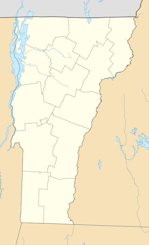
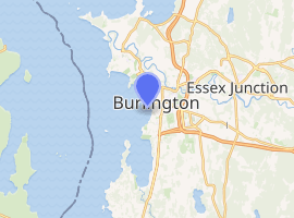
Burlington Breakwater Lights
The Burlington Breakwater Lights were originally established in 1857 to mark the ends of a low, detached, two piece breakwater 2⁄3-nautical-mile (1.2 km; 0.77 mi) long which protects the Burlington, Vermont harbor from Lake Champlain.[3] The breakwater is on the National Register of Historic Places,[4] but the lights, being replicas, are not. The two lights were replaced and rebuilt several times as fire and ice took their toll. In the middle of the 20th century, the wood towers were replaced by steel skeleton towers. The City of Burlington arranged for Federal funding for replicas of the original towers which were activated on September 12, 2003.[2]
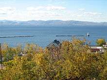 The North Light is visible to the right. | |
 | |

| |
| Location | Burlington, Vermont |
|---|---|
| Coordinates | 44°28′50″N 73°13′47.2″W |
| Year first constructed | 1857 |
| Year first lit | 2003 (current tower, which is a replica of 1890 tower) |
| Automated | 2003 |
| Foundation | Breakwater |
| Construction | Wood |
| Tower shape | Square pyramidal |
| Markings / pattern | White |
| Focal height | 35 feet (11 m) |
| Range | 12 nautical miles (22 km; 14 mi) |
| Characteristic | Flashing red 2.5s |
| Fog signal | none |
| USCG number | 1-39615 [2] |
 | |
| |
| Location | Burlington, US |
|---|---|
| Coordinates | 44°28′12.1″N 73°13′32.4″W |
| Year first constructed | 1857 |
| Year first lit | 2003 (current tower, which is a replica of 1857 tower) |
| Automated | 2003 |
| Foundation | Breakwater |
| Construction | Wood |
| Tower shape | Square pyramidal |
| Markings / pattern | White |
| Focal height | 12 feet (3.7 m) |
| Range | 7 nautical miles (13 km; 8.1 mi) |
| Characteristic | Flashing white 4s |
| Fog signal | none |
| USCG number | 1-39680 [2] |
Gallery
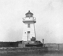
 Burlington Breakwater North Light
 The North Light in the fog on a winter's day
- The USCG source says this was the south light.
 The USCG source says this was the north light.
gollark: Said "NEVER".
gollark: 1 day, 13 hours, 33 minutes, 48 seconds.
gollark: SquidDev being annoying, and let me check.
gollark: Pjals works in mysterious ways.
gollark: Yes, but they killed me.
References
- Light List, Volume I, Atlantic Coast, St. Croix River, Maine to Shrewsbury River, New Jersey (PDF). Light List. United States Coast Guard. 2009. p. 330.
- Rowlett, Russ (2009-12-26). "Lighthouses of the United States: Vermont". The Lighthouse Directory. University of North Carolina at Chapel Hill.
- NOAA chart #14782 Lake Champlain: Cumberland Head to Four Brothers Islands, 1/40,000 2006
- "National Register Information System". National Register of Historic Places. National Park Service. March 13, 2009.
This article is issued from Wikipedia. The text is licensed under Creative Commons - Attribution - Sharealike. Additional terms may apply for the media files.