Bugarama
Bugarama | |
|---|---|
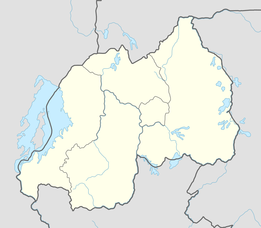 Bugarama Location in Rwanda | |
| Coordinates: 2°41′50″S 29°00′30″E | |
| Country | |
| Province | Western Province |
| District | Rusizi District |
| Elevation | 3,900 ft (1,200 m) |
| Population (2013 Estimate) | |
| • Total | 28,810 |
Bugarama is a town in western Rwanda.
Location
Bugarama is located in Rusizi District, Western Province, close to the borders with Burundi (to the east) and the Democratic Republic of the Congo (to the west). It is about 307 kilometres (191 mi), by road, southwest of Kigali, Rwanda's capital and largest city,[1] and approximately 43 kilometres (27 mi), by road, southeast of Kamembe/Cyangugu, where the district headquarters are located.[2]
Population
The population of Bugarama was about 28,810 as of December 2013.
Points of interest
The following points of interest lie within the town limits or close to the edges of town:
- Offices of Cavicon Consultants, Safkoko, FHI
- The headquarters of Bugarama Sector
- The International border crossing between Rwanda and the Democratic Republic of the Congo at Bugarama City
- The International border crossing between Rwanda and Burundi at Ruhwa
- A branch of Bank of Kigali
- A branch of Banque Populaire du Rwanda
- A branch of Ruyange Sacco
- Cyamudongo National Forest
- Bugarama Rice Plantation - A project of Rural Development Inter-Diocesan Service
- Bugarama Islamic Health Center
- Church: Eglise Catholique Saint Paul Muko
- High School: Groupe Scolaire St Paul Muko
- International Market of Bugarama
gollark: They are defined as working two's-complement-ly or something, there's an RFC on it.
gollark: In release mode, integer overflows are still DEFINED.
gollark: We should just use bigints literally everywhere.
gollark: Great, so C compilers can add safety™ things too.
gollark: Integer overflows will at least *panic* in debug mode, rather than silently being weird.
See also
External links
References
- "Road Distance Between Kigali And Bugarama With Map". Globefeed.com. Retrieved 1 August 2014.
- "Map Showing Kamembe (former Cyangugu) And Bugarama City (Bugarama Sector) With Distance Marker". Globefeed.com. Retrieved 1 August 2014.
This article is issued from Wikipedia. The text is licensed under Creative Commons - Attribution - Sharealike. Additional terms may apply for the media files.