Bohot Nunatak
Bohot Nunatak (Bulgarian: Бохотски нунатак, ‘Bohotski Nunatak’ \'bo-hot-ski 'nu-na-tak\) is the rocky hill of elevation 1120 m projecting from the ice cap in the northeastern periphery of Sentinel Range in Ellsworth Mountains, Antarctica. It is named after the settlement of Bohot in Northern Bulgaria.
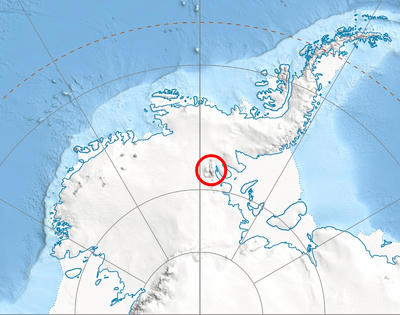
Location of Sentinel Range in Western Antarctica.
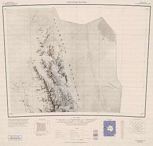
Map of northern Sentinel Range.
Location
Bohot Nunatak is located at 77°23′37″S 85°34′32″W, which is 13.7 km northeast of Mount Weems, 10.93 km east of Pastrogor Peak, 15.96 km southeast of Lanz Peak and 5.27 km north-northwest of Ostrusha Nunatak. US mapping in 1961.
Maps
- Newcomer Glacier. Scale 1:250 000 topographic map. Reston, Virginia: US Geological Survey, 1961.
- Antarctic Digital Database (ADD). Scale 1:250000 topographic map of Antarctica. Scientific Committee on Antarctic Research (SCAR). Since 1993, regularly updated.
gollark: <@509348730156220427> I have some useless ideas I can't be bothered to make:- mesh networking- communication between adjacent computers by changing and reading labels very fast
gollark: <@237328509234708481> If you make /bin a path for programs please also make require try loading from /lib by default.
gollark: Yes you can.
gollark: Though actually chatbox type things are infinite range anyway usually.
gollark: Yes, but it won't work on 1.7.10. At all.
References
- Bohot Nunatak. SCAR Composite Gazetteer of Antarctica.
- Bulgarian Antarctic Gazetteer. Antarctic Place-names Commission. (details in Bulgarian, basic data in English)
External links
- Bohot Nunatak. Copernix satellite image
This article includes information from the Antarctic Place-names Commission of Bulgaria which is used with permission.
This article is issued from Wikipedia. The text is licensed under Creative Commons - Attribution - Sharealike. Additional terms may apply for the media files.