Bogjurgan Hill
Bogjurgan Hill is an elevated landform at the southern verge of the Fetteresso Forest in Aberdeenshire, Scotland.[1] Its top is at an elevation of 299 metres (981 ft) above sea level. Historical features in this region of Kincardineshire include Fetteresso Castle, Drumtochty Castle and Muchalls Castle.
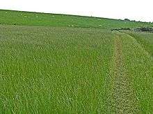
Sheep grazing on southern slopes of Bogjurgan Hill
See also
References
- United Kingdom Ordnance Survey Map Landranger 45, Stonehaven and Banchory, 1:50,000 scale, 2004
Line notes
- United Kingdom Ordnance Survey Map Landranger 45, Stonehaven and Banchory, 1:50,000 scale, 2004
This article is issued from Wikipedia. The text is licensed under Creative Commons - Attribution - Sharealike. Additional terms may apply for the media files.