Bockkarkopf
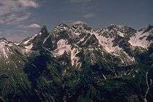
The Bockkarkopf is a mountain, 2,609 m high, and part of the main ridge of the Allgäu Alps. It is the ninth highest peak in the Allgäu Alps and is located between the Wilder Mann to the southwest and the Hochfrottspitze to the northeast. The busy Heilbronn Way (Heilbronner Weg) runs over the pyramidal peak.
| Bockkarkopf | |
|---|---|
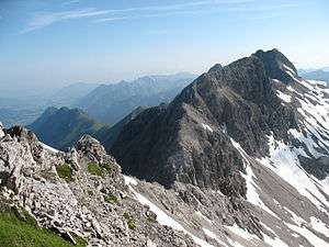 The Bockkarkopf from the Steinschartenkopf | |
| Highest point | |
| Elevation | 2,609 m (8,560 ft) |
| Prominence | 105 m ↓ Bockkarscharte → Hochfrottspitze |
| Isolation | 0.8 km → Hochfrottspitze |
| Coordinates | 47°17′28″N 10°17′06″E |
| Geography | |
| Parent range | Central ridge, Allgäu Alps |
| Climbing | |
| Normal route | over the Heilbronn Way |
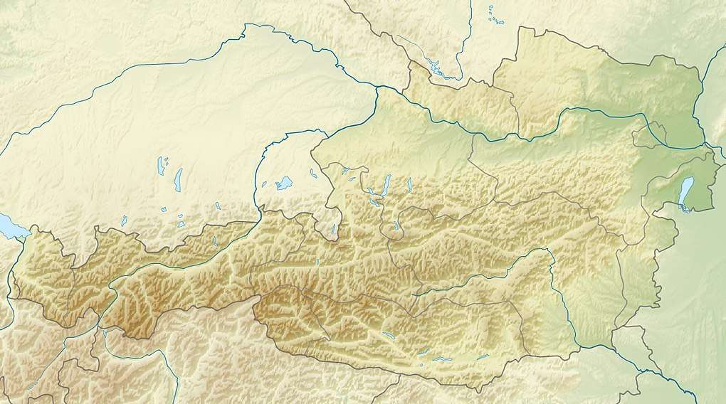
The Bavarian border with Tyrol runs over the summit.
Ascent
The Bockkarkopf is usually only climbed from the Heilbronn Way. As a destination in itself it can be climbed in a circular tour from the Waltenberger Haus via the Hintere Bockkar and the Socktalscharte. The return journey to the mountain hut follows via the Bockkarscharte and the Vordere Bockkar. The tour can also be done in reverse.
Sources
- Dieter Seibert: Allgäuer Alpen Alpin, Alpenvereinsführer. München, Bergverlag Rudolf Rother 2004. ISBN 3-7633-1126-2
- Alpenvereinskarte 1:25.000, Blatt 2/1, Allgäuer- Lechtaler Alpen, West
gollark: * unsidotkflyly
gollark: Well, you did but in satisfyingly.
gollark: You didn't answer my questions.
gollark: What?
gollark: So now I did? Implausible.
This article is issued from Wikipedia. The text is licensed under Creative Commons - Attribution - Sharealike. Additional terms may apply for the media files.