Bjorne Island
Bjorne Island, Danish: Bjørneø, meaning 'Bear Island', is an island in NE Greenland. Administratively it belongs to the Northeast Greenland National Park.
| Bjørneø | |
|---|---|
1.jpg) View of Bjorne Island. | |
 Bjorne Island | |
| Geography | |
| Location | Geologfjord Kaiser Franz Joseph Fjord |
| Coordinates | 73°33′N 24°43′W |
| Major islands | 1 |
| Length | 0.6 km (0.37 mi) |
| Width | 0.5 km (0.31 mi) |
| Administration | |
| Zone | Northeast Greenland National Park |
| Demographics | |
| Population | 0 |
It is the only island in the inner Kaiser Franz Joseph Fjord system.[1]
History
This island was first mapped and named Björnön by Alfred Gabriel Nathorst in 1899 during the Swedish Greenland Expedition in search of survivors of S. A. Andrée's Arctic balloon expedition of 1897.[2]
Geography
Bjorne Island is located in the middle of Geologfjord about 5 km (3.1 mi) from its mouth.[3] It is a rocky islet, rising north of Cape Weber, the easternmost end of Andrée Land.[4] The island is about 0.5 km (0.31 mi) in length.[1]
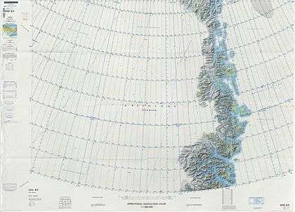 Map of Northeastern Greenland. |
gollark: OR DOES IT?
gollark: You left your phone behind, remember?
gollark: 🌵 <@151391317740486657>
gollark: Which you don't have.
gollark: Because 2FA involves, you know, using your phone to authenticate.
See also
References
- Google Earth
- Place names, NE Greenland
- Prostar Sailing Directions 2005 Greenland and Iceland Enroute, p. 120
- "Bjørneø". Mapcarta. Retrieved 25 July 2019.
This article is issued from Wikipedia. The text is licensed under Creative Commons - Attribution - Sharealike. Additional terms may apply for the media files.