Binaba
Binaba is a rural village in the Bawku West District of the Upper East Region in north Ghana. The village is 15 km south of the district capital Zebilla.[1][2]
Binaba | |
|---|---|
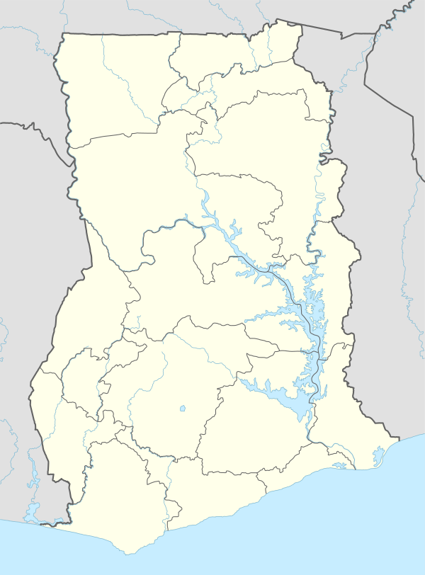 Binaba Location of Binaba in Upper East region | |
| Coordinates: 10°48′N 0°28′W | |
| Country | Ghana |
| Region | Upper East Region |
| District | Bawku West District |
| Population (2013) | |
| • Total | — |
| Time zone | GMT |
| • Summer (DST) | GMT |
Geography
There is a dry season, which includes Haramattan winds from mid-November through late March. The rainy season consists of monsoon rains.[2]
Economy
The principal economic activity is agriculture based on a unimodal distribution of rain. Staple crops include millet, rice and corn. Other important food crops include shea, peanuts, sweet potatoes, mangoes, watermelons and leafy vegetables.[2]
Demographics
Population
There are approximately 65,000 people in Binaba and the surrounding villages of Kusanaba, Zongoyiri, Gori, Kopella, Azuera, Tamocka and Dagunga.
gollark: ... I mean, "stimulant" doesn't mean "magically makes everything function better".
gollark: Why *would* they?
gollark: Can you *smoke* it?
gollark: > people need to learn the law of consecration> all things have a purpose???
gollark: One thing I'm annoyed by is people saying stuff like "processed foods are bad". I mean, what does that actually *mean*? What "processing" is bad?
References
- Bawku West District
- Touring Ghana - Upper East Region Archived 2014-03-17 at the Wayback Machine
This article is issued from Wikipedia. The text is licensed under Creative Commons - Attribution - Sharealike. Additional terms may apply for the media files.