Bhauriabhita
Bhauriabhita is a village in Kamrup rural district, in the state of Assam, India, situated in south bank of river Brahmaputra.[1]
Bhauriabhita | |
|---|---|
village | |
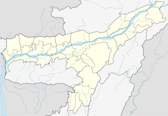
 Bhauriabhita Location in Assam, India  Bhauriabhita Bhauriabhita (India) | |
| Coordinates: 26.07°N 91.23°E | |
| Country | |
| State | Assam |
| Region | Western Assam |
| District | Kamrup |
| Government | |
| • Body | Gram panchayat |
| Languages | |
| • Official | Assamese |
| Time zone | UTC+5:30 (IST) |
| PIN | 781136 |
| Vehicle registration | AS |
| Website | kamrup |
Transport
The village is located north of National Highway 31 and connected to nearby towns and cities like Boko, Chaygaon and Guwahati with regular buses and other modes of transportation.
gollark: * Lua
gollark: At least they're not writing an OS. Unless you read the text which says "OS" for some stupid reason.
gollark: I guess the allowed message-sendable types *is* closer to JSON than an object...
gollark: They work, if you don't do anything fancy at least, basically the same as JS objects. You know how those work, right?
gollark: Er, all the values in the table you send will be present.
References
- "Bhauriabhita". pincode.org.in. Retrieved 29 August 2017.
This article is issued from Wikipedia. The text is licensed under Creative Commons - Attribution - Sharealike. Additional terms may apply for the media files.