Bereina
Bereina is a town in the Central Province of Papua New Guinea. It is located on the Hiritano Highway about 160 kilometres (100 mi) north-west of Port Moresby, and contains the headquarters of both the Kairuku-Hiri District and the Kairuku Rural local-level government area. Bereina also hosts a regional airport and a district town for the people of Kairuku Rural Area.
Bereina | |
|---|---|
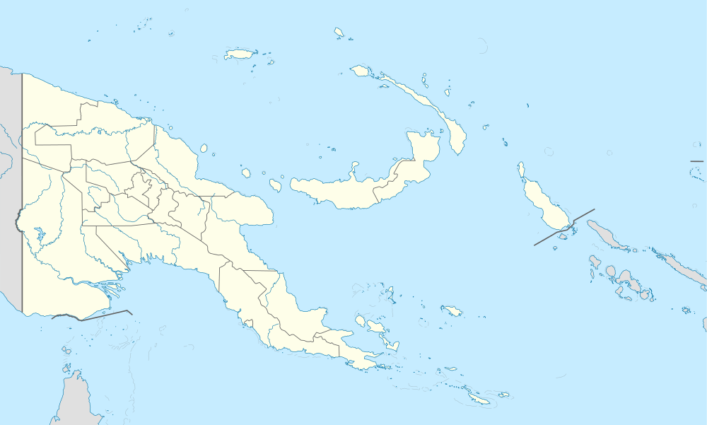 Bereina Location within Papua New Guinea | |
| Coordinates: 8.6377°S 146.51082°E | |
| Country | Papua New Guinea |
| Province | Central Province |
| District | Kairuku-Hiri District |
| LLG | Kairuku Rural LLG |
| Population (2000) | |
| • Total | 1,756 |
| Languages | |
| • Main languages | English, Tok Pisin, Waima |
| • Traditional language | Waima |
| Time zone | UTC+10 (AEST) |
| Postcode | 161 |
| Location | 161 km (100 mi) NW of Port Moresby |
| Climate | Aw |
Education
Bereina is home to three elementary schools and one primary school. A short distance to the south is Mainohana Catholic High School, a De La Salle Year 9–12 school established in 1958.
gollark: ++remind 32h CODE GUE§
gollark: ++magic reload_config
gollark: ++help magic
gollark: Troubling.
gollark: Syl appears to have been reactivated.
This article is issued from Wikipedia. The text is licensed under Creative Commons - Attribution - Sharealike. Additional terms may apply for the media files.