Beaver River (Kapiskau River tributary)
The Beaver River is a river in the far northeast of Kenora District in Northwestern Ontario, Canada.[1] It is part of the James Bay drainage basin, and is a left tributary of the Kapiskau River.
| Beaver River | |
|---|---|
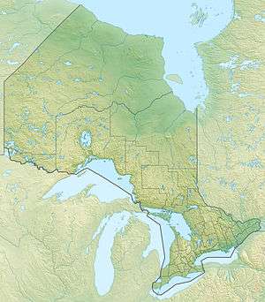 Location of the mouth of the Beaver River in Ontario | |
| Location | |
| Country | Canada |
| Province | Ontario |
| Region | Central Ontario |
| District | Kenora |
| Physical characteristics | |
| Source | Unnamed lake |
| • coordinates | 52°32′14″N 83°03′52″W |
| • elevation | 44 m (144 ft) |
| Mouth | Kapiskau River |
• coordinates | 52°38′41″N 82°24′14″W |
• elevation | 4 m (13 ft) |
| Basin features | |
| River system | James Bay drainage basin |
Course
The river begins at an unnamed lake and first heads north, then southeast. It then turns northeast, and reaches its mouth at the Kapiskau River, which flows to James Bay.
gollark: I've seen a bunch of non-object-oriented projects.
gollark: You can do procedural code in most higher-ish-level languages if you want to.
gollark: I mean, some people like using them, I personally don't, either way is easier to work on than assembly, mostly.
gollark: C# actually allows you to do neat functional programming things now, to some extent.
gollark: There are *at least* three high-level languages, and not all of them are C# and Java.
References
- "Beaver River". Geographical Names Data Base. Natural Resources Canada. Retrieved 2014-04-22.
Sources
- Map 17 (PDF) (Map). 1 : 1,600,000. Official road map of Ontario. Ministry of Transportation of Ontario. 2012-01-01. Retrieved 2014-04-22.
This article is issued from Wikipedia. The text is licensed under Creative Commons - Attribution - Sharealike. Additional terms may apply for the media files.