Beautheil
Beautheil is a former commune in the Seine-et-Marne department in the Île-de-France region in north-central France. On 1 January 2019, it was merged into the new commune Beautheil-Saints.[2]
Beautheil | |
|---|---|
Part of Beautheil-Saints | |
Location of Beautheil 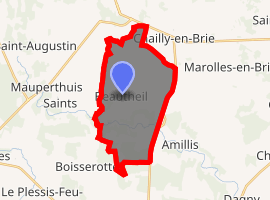
| |
 Beautheil 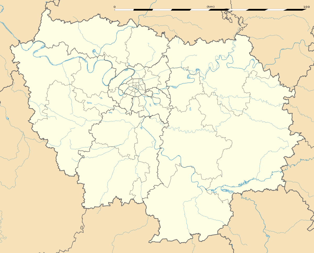 Beautheil | |
| Coordinates: 48°45′49″N 3°05′16″E | |
| Country | France |
| Region | Île-de-France |
| Department | Seine-et-Marne |
| Arrondissement | Meaux |
| Canton | Coulommiers |
| Commune | Beautheil-Saints |
| Area 1 | 18.37 km2 (7.09 sq mi) |
| Population (2017)[1] | 670 |
| • Density | 36/km2 (94/sq mi) |
| Time zone | UTC+01:00 (CET) |
| • Summer (DST) | UTC+02:00 (CEST) |
| Postal code | 77120 |
| Elevation | 89–157 m (292–515 ft) |
| 1 French Land Register data, which excludes lakes, ponds, glaciers > 1 km2 (0.386 sq mi or 247 acres) and river estuaries. | |
Geography
The river Aubetin flows westward through the southern part of the commune.
gollark: What if you allowed them to have *mechanical DVORAK keyboards*?
gollark: Does Forth have good HTTP capabilities?
gollark: There was that one time I accidentally SCP-055.
gollark: I don't understand. Please speak Lojban.
gollark: <@!156021301654454272>
References
- Téléchargement du fichier d'ensemble des populations légales en 2017, INSEE
- Arrêté préfectoral 3 July 2018 (in French)
External links
| Wikimedia Commons has media related to Beautheil. |
- 1999 Land Use, from IAURIF (Institute for Urban Planning and Development of the Paris-Île-de-France région) (in English)
- French Ministry of Culture list for Beautheil (in French)
| Authority control |
|
|---|
This article is issued from Wikipedia. The text is licensed under Creative Commons - Attribution - Sharealike. Additional terms may apply for the media files.