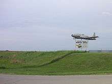
Beatrice Municipal Airport
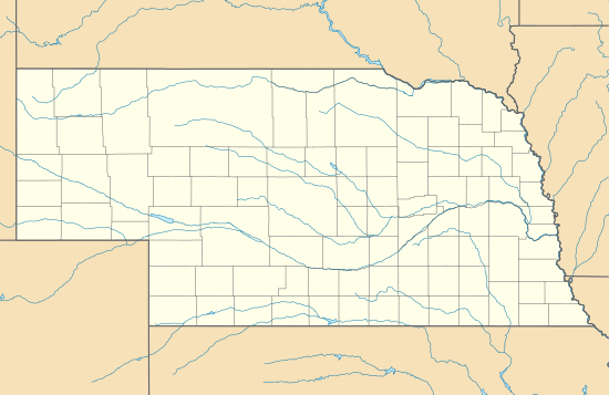
Beatrice Municipal Airport (ICAO: KBIE, FAA LID: BIE) is 3 mi (4.8 km) north of Beatrice, in Gage County, Nebraska.[1]
Beatrice Municipal Airport | |||||||||||||||
|---|---|---|---|---|---|---|---|---|---|---|---|---|---|---|---|
 | |||||||||||||||
| Summary | |||||||||||||||
| Airport type | Public | ||||||||||||||
| Owner | Beatrice Airport Authority | ||||||||||||||
| Serves | Beatrice, Nebraska | ||||||||||||||
| Elevation AMSL | 1,324 ft / 404 m | ||||||||||||||
| Coordinates | 40°18′04″N 096°45′14″W | ||||||||||||||
| Map | |||||||||||||||
 BIE  BIE | |||||||||||||||
| Runways | |||||||||||||||
| |||||||||||||||
| Statistics | |||||||||||||||
| |||||||||||||||
Frontier DC-3s stopped there from 1959 to 1963.
Facilities
The airport covers 643 acres (260 ha) at an elevation of 1,324 ft (404 m). It has two concrete runways: 18/36 is 5,602 by 100 ft (1,707 by 30 m) and 14/32 is 4,401 by 75 ft (1,341 by 23 m). In the year ending June 7, 2016 the airport had 10,175 aircraft operations, an average of 28 per day: 99% general aviation, 1% air taxi and <1% military. In January 2017, 36 aircraft were based at the airport, all single-engine.[1] The terminal has wireless internet.[2]
Airlines and Destinations
gollark: Oh, you mentioned this.
gollark: We'll have to deal with this.
gollark: At least not that I know of.
gollark: Technically, you are a monopoly as nobody else produces bee products.
gollark: Harvestcraft bees.
References
- FAA Airport Master Record for BIE (Form 5010 PDF), effective Jan 5, 2017.
- "beatrice airport". beatriceairport.com. Retrieved 2015-04-30.
- "Route Map".
External links
- FAA Terminal Procedures for BIE, effective August 13, 2020
- Resources for this airport:
- FAA airport information for BIE
- AirNav airport information for KBIE
- ASN accident history for BIE
- FlightAware airport information and live flight tracker
- NOAA/NWS weather observations: current, past three days
- SkyVector aeronautical chart, Terminal Procedures
This article is issued from Wikipedia. The text is licensed under Creative Commons - Attribution - Sharealike. Additional terms may apply for the media files.