Basantpur, Pachperwa
Basantpur is a village in Pachperwa Block, Balrampur district of Uttar Pradesh State, India.[3]
Basantpur | |
|---|---|
Village | |
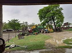 Basantpur after raining | |
 Basantpur Location in Uttar Pradesh, India  Basantpur Basantpur (India) 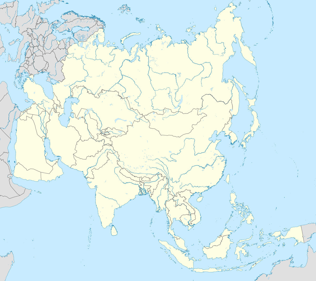 Basantpur Basantpur (Asia) | |
| Coordinates: 27.44°N 82.60°E | |
| Country | |
| District | Balrampur |
| State | Uttar Pradesh |
| Post | Madhyanagar |
| Government | |
| • Type | Gram Panchayat |
| • Sarpanch (Pradhan) | Shabnam Khan |
| Population (2011) | |
| • Total | 3,776[1] |
| Language | |
| • Official | Hindi[2] |
| • Additional official | Urdu[2] |
| Electricity | |
| • In Village | Available |
| India | +91 |
| Pin code | 271215 |
| Vehicle registration | UP-47 |
| Vidhan Sabha Constituency | Gainsari |
| Lok Sabha Constituency | Shrawasti |
| Website | http://balrampur.nic.in/ |
Demographics
As of 2011 Indian Census, Basantpur had a total population of 3,776, of which 2,012 were males and 1,764 were females. Population within the age group of 0 to 6 years was 631. The total number of literates in Basantpur was 1,561, which constituted 41.3% of the population with male literacy of 48.0% and female literacy of 33.8%. The effective literacy rate of 7+ population of Basantpur was 49.6%, of which male literacy rate was 57.9% and female literacy rate was 40.3%. The Scheduled Castes population was 131. Basantpur had 475 households in 2011.[1]
Politics
The sarpanch of Basantpur is Shabnam Khan. The panchayat has 5 ward members chosen by the people through polling.[4]
Transport
Nearest railway station is Pachperwa railway station. [5]
See also
References
- "Census of India: Basantpur". www.censusindia.gov.in. Retrieved 24 February 2020.
- "52nd REPORT OF THE COMMISSIONER FOR LINGUISTIC MINORITIES IN INDIA" (PDF). nclm.nic.in. Ministry of Minority Affairs. Archived from the original (PDF) on 25 May 2017. Retrieved 8 June 2019.
- India. Census Commissioner (2007). Uttar Pradesh administrative atlas. Uttar Pradesh Administrative Atlas (in Swedish). Directorate of Census Operations. p. 202. Retrieved 8 June 2019.
- "State Election Commission::UP". sec.up.nic.in. Retrieved 9 September 2019.
- "Pachperwa Railway Station (PPW) : Station Code, Time Table, Map, Enquiry". NDTV. Retrieved 1 September 2019.