Bardangrikuchi
Bardangrikuchi is a village in Kamrup rural district, in the state of Assam, India, situated in north bank of river Brahmaputra.[1]
Bardangrikuchi | |
|---|---|
Village | |
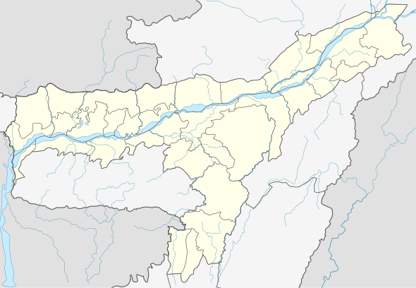
 Location in Assam, India  Bardangrikuchi (India) | |
| Coordinates: 26.46°N 91.34°E | |
| Country | |
| State | Assam |
| Region | Western Assam |
| District | Kamrup |
| Government | |
| • Body | Gram panchayat |
| Languages | |
| • Official | Assamese |
| Time zone | UTC+5:30 (IST) |
| PIN | 781366 |
| Vehicle registration | AS |
| Website | kamrup |
Transport
The village is near National Highway 27 and connected to nearby towns and cities like Rangiya, Baihata and Guwahati with regular buses and other modes of transportation.
gollark: It's plugged into the secret underwater tunnel network™ even.
gollark: It's a bit bland and entirely uninhabited.
gollark: We do have access to that now since claim-entry stuff is denied.
gollark: I think I accidentally erased them at some point.
gollark: It's really a shame I can't actually find any screenshots of any servers predating mid-2019.
See also
References
- "Bardangrikuchi". pincode.org.in. Retrieved 28 May 2017.
This article is issued from Wikipedia. The text is licensed under Creative Commons - Attribution - Sharealike. Additional terms may apply for the media files.