Barclay Bay, Greenland
Barclay Bay (Danish: Barclay Bugt) is a bay in King Christian IX Land, Eastern Greenland.[1] The area of the bay is uninhabited. Administratively Barclay Bay and its surroundings belong to the Sermersooq municipality.
| Barclay Bay | |
|---|---|
| Barclay Bugt | |
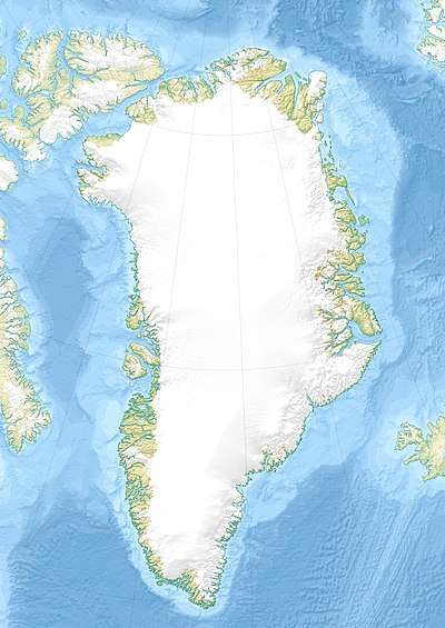 Barclay Bay Location in Greenland | |
| Location | Arctic |
| Coordinates | 69°14′N 25°1′W |
| Ocean/sea sources | Denmark Strait |
| Basin countries | Greenland |
| Max. length | 14 km (8.7 mi) |
| Max. width | 5 km (3.1 mi) |
Geography
Barclay Bay lies in the Blosseville Coast south of Knighton Fjord. It stretches for about 14 km (8.7 mi) from east to west. Its mouth lies between Cape Barclay to the northeast and Cape Ryder to the southwest. Høst Havn is a small, protected inlet located close to the northern side of the mouth [2]
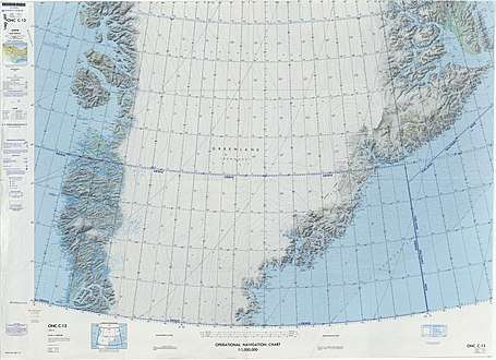 Map of Greenland section |
gollark: Using CLIP embeddings to filter for appropriate ones.
gollark: “Kit” can also retrieve images from the internet when conversationally relevant.
gollark: Sometimes I apply Banach-Tarski to myself.
gollark: I have an uncountably infinite number of points.
gollark: Your expectations are wrong.
References
- "Barclay Bugt'". Mapcarta. Retrieved 8 June 2019.
- Prostar Sailing Directions 2005 Greenland and Iceland Enroute, p. 110
This article is issued from Wikipedia. The text is licensed under Creative Commons - Attribution - Sharealike. Additional terms may apply for the media files.