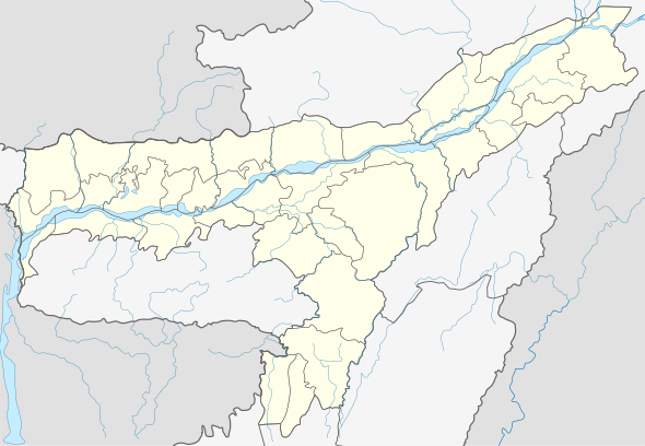
Baguliaghat
Bakalia is a town in East Karbi Anglong district, Assam, India.
Bakalia Volongkom aji | |
|---|---|
town | |
 Bakalia Location in Assam, India  Bakalia Bakalia (India) | |
| Coordinates: 26°5′0″N 93°12′0″E | |
| Country | |
| State | Assam |
| District | East Karbi Anglong |
| Government | |
| • Type | Democracy |
| • Body | Bakalia Town Committee |
| Elevation | 84 m (276 ft) |
| Languages Karbi,Assamese | |
| • Official | Karbi, English, Dimasa |
| Time zone | UTC+5:30 (IST) |
| Vehicle registration | AS-09- |
Geography
It is located at an elevation of 84 m above MSL.[1]
Location
Bakalia is connected by National Highway 36 to Nagaon and Dimapur. Nearest airport is Dimapur Airport.
Educational institutions
- Eragaon English High School
- Bakalia English High School
- All Saint English High School and Residential
- Rukasen College
- Bakaliaghat higher secondary school
- Hills Academy
- Daffodil English High School
- Adarsha High School
- Sunpura Anchalik High School
- Umola ghar(play school)
- Janata Hindi High School.
- Indradhanu kola niketon.
- Bisheswar Public English School
Service Center
- PRASAD AUTOMOBILE SERVICE CENTER
gollark: <@319753218592866315> no pingy.
gollark: I do sort of prefer Arch, so I may be migrating the osmarks.tk server to that.
gollark: Laptop: Arch.Desktop: Void.Server: Alpine.
gollark: I use three different distros on various systems and randomly flip between them.
gollark: btw, I use Arch.
References
This article is issued from Wikipedia. The text is licensed under Creative Commons - Attribution - Sharealike. Additional terms may apply for the media files.