Bad Kösen
![]()
Bad Kösen | |
|---|---|
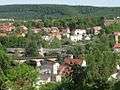
Stadtteil of Naumburg | |
.jpg) Weir of the Saale river and old water mill | |
 Coat of arms | |
Location of Bad Kösen 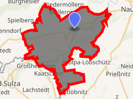
| |
 Bad Kösen  Bad Kösen | |
| Coordinates: 51°8′7″N 11°43′14″E | |
| Country | Germany |
| State | Saxony-Anhalt |
| District | Burgenlandkreis |
| Town | Naumburg |
| Area | |
| • Total | 35.72 km2 (13.79 sq mi) |
| Elevation | 115 m (377 ft) |
| Population (2006-12-31) | |
| • Total | 5,360 |
| • Density | 150/km2 (390/sq mi) |
| Time zone | CET/CEST (UTC+1/+2) |
| Postal codes | 06628 |
| Dialling codes | 034463 |
| Vehicle registration | BLK |
| Website | Official website |
Overview
Bad Kösen, and the nearby Rudelsburg castle with its memorials to the German Student Corps, is the location of the annual convention of the Kösener Senioren-Convents-Verband. In sight of the Rudelsburg is the ruin of the nearby Saaleck Castle.
Bad Kösen was the seat of the former Verwaltungsgemeinschaft ("municipal association") Bad Kösen.
Pforta is an Ortsteil of Bad Kösen.
Gallery
 Rudelsburg, c.1890
 Map from 1914
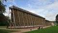
 Bismarck Memorial
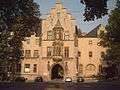 Gate house of Pforta
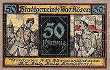
 Old water mill
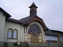 Train station
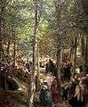
gollark: <@!550187576049270798> It's probably familiar because it's my username.
gollark: Good job, it had it coming.
gollark: You banned *Discord*.
gollark: ... Discord, the bot?
gollark: Wait, what bot did you ban?
External links


- Schumann, August (1818). "Kösen". Vollständiges Staats-, Post- und Zeitungslexikon von Sachsen (in German). 5. Zwickau. p. 20 .
- Official website of Bad Kösen
| Authority control |
|---|
This article is issued from Wikipedia. The text is licensed under Creative Commons - Attribution - Sharealike. Additional terms may apply for the media files.