Azakhel Payan
Azakhel Payan (Pashto: اضاخيل پايان) is a village in Pabbi Tehsil of Nowshera District, Khyber Pakhtunkhwa, Pakistan. Its Geographical Coordinates are: 33° 59' 0" North, 71° 53' 0" East and its original name (with diacritics) is "Äza Khel Payan". It lies along the Grand Trunk Road, some 13 kilometres (8.1 mi) west of Nowshera.[1] The majority of the population of Azakhel Payan are engaged in agriculture, mainly potatoes, sugar cane, wheat, corn, tomato, cucumber and numerous other vegetables. According to the Pakistan Forest Institute, "pale yellow silt-stone forms the soil parent material near Azakhel Payan village."[2] There is an Afghan Refugee Camp located here.[1]
Azakhel Payan | |
|---|---|
Village (Almost a Town now) | |
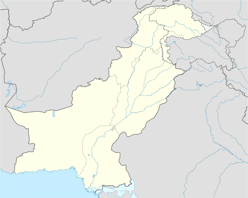 Azakhel Payan Location in Pakistan | |
| Coordinates: 33°59′0″N 71°53′0″E | |
| Country | |
| Region | Khyber Pakhtunkhwa |
| District | Nowshera District |
| Time zone | UTC+5 (PST) |
Etymologies
The word Azakhel Payan is compound word; consisting of three words, i.e. "Aza", most probably the name of its founder. However, it is suggested that khel comes from the Avestan word khuail, meaning "uncountable" or "over-populated", such as the counting of stars or counting grains of rice. The word is a cognate of the Persian word kheleh, meaning "lots" or "too much". In usage, the word khel is placed after the name of the common ancestor or leader. A khel is often based in a single village,[3] but it may also be based on a larger area including several villages, or part of a town.[4] while "Payan", means "Lower" in "Persian" or "Urdu".
1. Aza Khel Payan Origin:
a. One thought is; The name "Aza Khel" is given to this piece of land after its founder "Aza Khan" or "Raza Khan",who was considered as one of the great Afghan warriors.
b. Another thought is; The name Aza Khel derived is derived from the word ZA Khel, which is the name of a town in Kondoz, Afghanistan (some kilometres away from Kondoz towards
History
Although the History of Azakhel Payan is so much complex & full of ambiguity, but still there persist some ideas (in the inhabitants; called "Azakhelis or Azakhelians") regarding its history, origin, settlement of people here, their distribution into different Sub- Division (Mohallas), Demography & ethnicity of its inhabitants, etc.
Some of these are;
Climate
The overall climate of the Area is Harsh; (i.e.) Cold in Winters (Avg. Temperature Range: 10 °C- 20 °C) & Hot in Summers (Avg. Temperature Range: 35 °C - 42 °C).
There are four seasons; 1. Winter (From October to Mid of February), which are mostly dry with low Rainfall 2. Spring (From Mid of February to End of March) 3. Summer (From April to September) 4. Autumn (From September to October)
Sub- Division (Mohallas)
The village: Āza Khel Pāyān, is now divided into different Mohallas (sub-sections), some of which are named after their founders' names (i.e.);
- Zarifkhel (Pashto: ظريف خيل)
- Mutazamkhel (Pashto: متظم خيل)
- Safkhel (Pashto: صاف خيل)
- Arsalakhel (Pashto: ارسلا خيل)
- Salihabād (Pashto: صالح آباد)
- Maroofkhel (Pashto: معروف خیل)
- Kakakhel (Pashto: كاكاخيل) &
- Abak-khel (Myagān)(Pashto: ابک خيل)
- Shahbazgarh (Pashto: شهبازګړھ)
- Ghareeb abad Template:Patans
Some Mohallas are named upon the profession of its inhabitants like;
- Loharan (Pashto: لوهاران)
- Takadaran (Old Name: Torkhelan, who came from Punjab)(Pashto: ټهيکداران); who originally the Bed-quilt Carders (i.e.) Nāndāpān, then changed to Torkhelān, due to the Dark Complexion of its inhabitants.
- Tarkānān (The Carpenters)(Pashto: ترکاړان)
- Awan (Old Name: Shpāna)(Pashto: اعوان)
- Mochyān (The Cobblers)(Pashto: موچیان)
- Qasābān (The Butchers)(Pashto: قصابان)
- Jolagān (Pashto: جولاګان) or Kasabgar
- Molyān (The Muslim Scholars)(Pashto: مُلیان),
The other Mohallas are upon their location in the village;
- Shage Mohalla(Pashto: شګی محله)
- Pass Mohalla (Pashto: پاس محله), etc.
Religion
- Sunni Islam is followed by 100% of the population.
Languages, Demography & Literacy Rate
The population of the Village is about 30-35 thousand. After demographic changes in recent decades due to Afghan Refugees and Tribal peoples arrival, Pashto language speakers are in majority today which make up about more than 90% of total population of Nowshehra. Pashto language (i.e.) Pukhto dialect, speakers are in majority (99.9% of the total population. Urdu being National language is also spoken and understood.
According to the 1998 census of Pakistan, the population density was 520 persons per km². The annual growth rate was 3.0%
The literacy rate is increasing very swiftly & is about 80-85 %.
Administration
Political Statistics
Almost all the political parties of Pakistan have their representation in the village to some extent but the dominant among them are;
- Pakistan Tehreek-e-Insaf, which won with an overwhelming majority on all the levels; (i.e.) Local Bodies Elections,2015 & Provincial & National Assembly Elections,2013.
- Jamiat Ulama-e-Islam, is the second successful political party here.
- Awami National Party, is the third to have its considerable representation in the Area.
- Pakistan Peoples Party, is the least represented here, due to the bad experiences in the past.
Geography
Its surrounded by the Cherat Mountains from the South & on about the same side, it has about hundreds Brick-Kilns. On North side it have Kabil River; about 2, 3 km from the Grand Trunk Road (the area in between the Kabil River & G.T. Road is named as "Bela", which served as "Training Camp for Afghan Mujaheddin", during Soviet Occupation of Afghanistan & it was later on established as a Refugee Camp to the "Afghan migrants" in "Gen. Zia ul Haq" Era, as a hospitality & brotherhood symbol to the Afghan Brothers), On its West is Azakhel Bala (Its Brother Village) and on its East it have Pir Pai.
Azakhel Park
Azakhel Park, Azakhel Payan Nowshera, spreading over 83 acres of Agricultural Land is granted on lease to University of Peshawar's The Centre of Plant Biodiversity (CPB) by the District Government to develop a Botanical Garden, including the provision of her-barium, museum, research laboratories, botanical nurseries, green houses, conference hall, lecture theaters, library and faculty offices for training of students leading to non degree and degree awarding Programmes like short courses, diplomas, B.S., M. Phil. and Ph. D. degrees in various disciplines of Plant Biodiversity. The Centre also provides forum for exchange of mutual ideas by arranging conferences, seminars, workshops and other gatherings.[5]
Main Characteristics
The village has a central bazaar, named Charsoo Bazaar, which is often crowded in the evenings (especially on Thursdays and weekends) and in the Eid days. The bazaar is furnished and houses many different foods. Often, people from neighboring areas visit the place to have their dinners. It serves as a significant source of income for the people. The village has fields, small hills, and abundant greenery. The village has concrete roads, both government-run and private schools (at both the primary and secondary level and for both boys and girls), its own Basic Health Unit (BHU), Veterinary Clinic with doctor, Post Office, Union Council, Police station, petrol pumps, Govt Go-downs (for storage of wheat & medicines), and play grounds etc. It has the Peshawar University's botanical garden, used for new research on plants.
References
- Maps (Map). Google Maps.
- The Pakistan Journal of Forestry. Pakistan Forest Institute. 1987. p. 10. Retrieved 23 October 2012.
- Wardak, A. (2003) "Jirga – A Traditional Mechanism of Conflict Resolution in Afghanistan" p. 6, online at UNPAN (the United Nations Online Network in Public Administration and Finance), accessed 10 January 2009
- Albrecht, Hans-Jörg (2006) Conflicts and Conflict Resolution in Middle Eastern Societies: Between Tradition and Modernity Duncker & Humblot, Berlin, p. 358, ISBN 3-428-12220-8
- "Centre of Plant Biodiversity". uop.edu.pk. Retrieved 2016-04-26.