Astore (city)
Astore (Urdu: استور), also spelt Astor, is a town and the capital of Astore District in the Gilgit-Baltistan region of northern Pakistan. It is located at 35°22'0N 74°51'0E with an altitude of 2546 metres (8353 feet).[1]
Astore استور | |
|---|---|
town | |
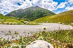 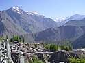   Mountains in Astore Upper Astore | |
 Astore 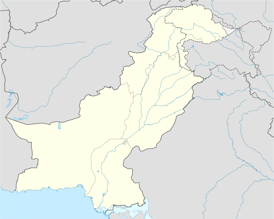 Astore | |
| Coordinates: 35.22°N 74.51°E | |
| Country | Pakistan |
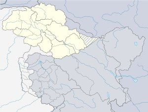
| Province | Gilgit Baltistan |
| District | Astore |
| Elevation | 2,546 m (8,353 ft) |
| Time zone | UTC+5 (PST) |
| Climate | Dsb |
The Astore-Burzul Road, linking Gilgit to Srinagar was closed in 1978 after the development of the Karakoram Highway.[2]
Climate
| Climate data for Astore | |||||||||||||
|---|---|---|---|---|---|---|---|---|---|---|---|---|---|
| Month | Jan | Feb | Mar | Apr | May | Jun | Jul | Aug | Sep | Oct | Nov | Dec | Year |
| Record high °C (°F) | 12.3 (54.1) |
15.9 (60.6) |
20.3 (68.5) |
27.2 (81.0) |
30.1 (86.2) |
35.0 (95.0) |
37.0 (98.6) |
34.4 (93.9) |
31.7 (89.1) |
27.7 (81.9) |
21.0 (69.8) |
14.0 (57.2) |
37.0 (98.6) |
| Average high °C (°F) | 2.8 (37.0) |
4.3 (39.7) |
8.9 (48.0) |
15.0 (59.0) |
19.9 (67.8) |
24.7 (76.5) |
27.1 (80.8) |
26.9 (80.4) |
23.2 (73.8) |
17.5 (63.5) |
11.4 (52.5) |
5.3 (41.5) |
12.5 (54.5) |
| Average low °C (°F) | −7.2 (19.0) |
−5.3 (22.5) |
−0.9 (30.4) |
3.9 (39.0) |
7.6 (45.7) |
11.3 (52.3) |
14.6 (58.3) |
14.6 (58.3) |
10.3 (50.5) |
4.6 (40.3) |
−0.4 (31.3) |
−4.4 (24.1) |
3.2 (37.8) |
| Record low °C (°F) | −17.7 (0.1) |
−21.0 (−5.8) |
−12.0 (10.4) |
−5.0 (23.0) |
−1.7 (28.9) |
1.1 (34.0) |
6.5 (43.7) |
5.6 (42.1) |
−1.1 (30.0) |
−1.7 (28.9) |
−9.0 (15.8) |
−16.1 (3.0) |
−21 (−6) |
| Average rainfall mm (inches) | 42.4 (1.67) |
48.5 (1.91) |
78.2 (3.08) |
87.6 (3.45) |
65.6 (2.58) |
22.8 (0.90) |
22.9 (0.90) |
24.1 (0.95) |
21.9 (0.86) |
23.8 (0.94) |
16.4 (0.65) |
29.1 (1.15) |
401.8 (15.82) |
| Average relative humidity (%) (at 17:00 PST) | 60.3 | 56.6 | 45.5 | 36.8 | 32.6 | 28.8 | 31.8 | 32.8 | 29.6 | 28.6 | 34.3 | 53.5 | 39.3 |
| Source: Pakistan Meteorological Department[3] | |||||||||||||
gollark: Well, if the configuration is too similar, then it might be too similar to configuration files used by IRC networks in apiospace. Now, of course, most apiospatial information is highly cognitometaapiohyperhazardous, so it would be bad if it entered normal IRC networks.
gollark: You must install ngircd, set up appropriate SSL certificates (or use existing ones), and do various configuration.
gollark: I simply manipulate probability such that whatever I want to type spontaneously ends up in RAM somehow.
gollark: I can't.
gollark: HPage™ runs through a wireguard link to my server, and it's quite flaky.
References
- Location of Astor - Falling Rain Genomics
- Gilgit-Srinagar Road: Govt seeks NA admin's opinion, The Daily Times, 27 March 2004.
- "Astore Climate Data". Pakistan Meteorological Department. Archived from the original on June 13, 2010. Retrieved 11 January 2016.
| Wikimedia Commons has media related to Astore (village). |
This article is issued from Wikipedia. The text is licensed under Creative Commons - Attribution - Sharealike. Additional terms may apply for the media files.