Ash (near Stourpaine)
Ash is a hamlet approximately 0.5 miles (1 km) north of the village of Stourpaine, Dorset, England.[1][2]
| Ash | |
|---|---|
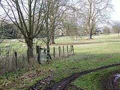 Bridleway at Ash | |
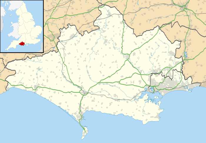 Ash Location within Dorset | |
| OS grid reference | ST8610 |
| Shire county | |
| Region | |
| Country | England |
| Sovereign state | United Kingdom |
| Police | Dorset |
| Fire | Dorset and Wiltshire |
| Ambulance | South Western |
Ash was listed in the Domesday Book of 1086.[3]
References
- Ordnance Survey: Landranger map sheet 194 Dorchester & Weymouth (Cerne Abbas & Bere Regis) (Map). Ordnance Survey. 2014. ISBN 9780319232132.
- "Ordnance Survey: 1:50,000 Scale Gazetteer" (csv (download)). www.ordnancesurvey.co.uk. Ordnance Survey. 1 January 2016. Retrieved 30 January 2016.
- Professor J.J.N.Palmer. "Open Doomsday: Ash". www.opendomesday.org. Anna Powell-Smith. Retrieved 31 January 2016.
This article is issued from Wikipedia. The text is licensed under Creative Commons - Attribution - Sharealike. Additional terms may apply for the media files.