Armadillo Hill
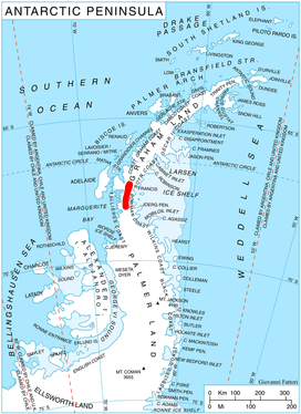
Armadillo Hill (68°7′S 66°22′W) is an ice-covered hill in Antarctica which rises to 1,760 metres (5,770 ft) and projects 120 metres (400 ft) above the surrounding ice sheet. It is situated in the south part of Hemimont Plateau in Graham Land 4 nautical miles (7 km) east-southeast of the head of Northeast Glacier and 8 nautical miles (15 km) northeast of the head of Neny Fjord. First roughly surveyed by the British Graham Land Expedition, 1934–37, it was resurveyed in 1940 by sledging parties of the United States Antarctic Service on whose field charts the hill is labelled "Sawtooth". It was named Armadillo Hill by the Falkland Islands Dependencies Survey following its 1946–47 survey, because when viewed from the northeast the tumbled ice blocks on the summit and general shape of the hill resemble the side view of an armadillo.[1]
References
- "Armadillo Hill". Geographic Names Information System. United States Geological Survey. Retrieved 2011-05-12.
![]()