Aqushela
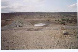
Aqushela is a typical over-dimensioned reservoir located in the Tanqwa-Abergele woreda of the Tigray Region in Ethiopia. The earthen dam that holds the reservoir was built in 1999 by the Relief Society of Tigray.[1]
| Aqushela | |
|---|---|
 The reservoir never gets full with water, as evidenced by the trees growing on its bottom | |
 Aqushela | |
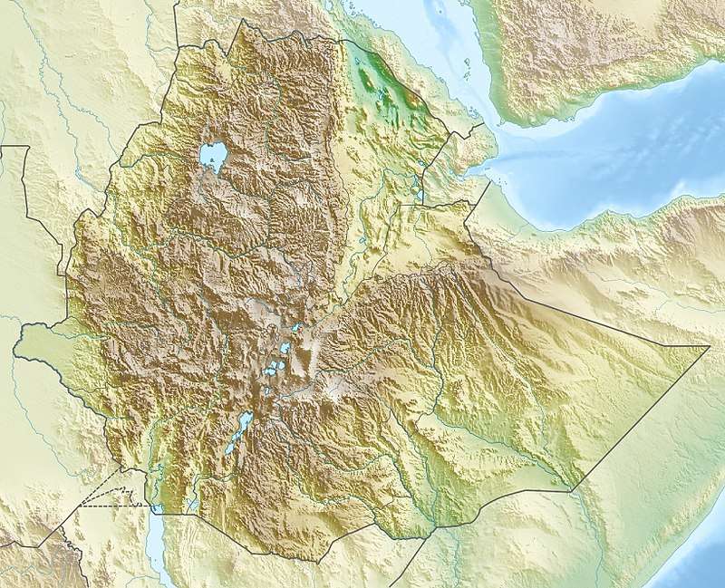
| Coordinates | 13.38695882°N 38.83006536°E |
| Type | Freshwater artificial lake |
| Basin countries | Ethiopia |
| Surface area | 0.2 km2 (0.077 sq mi) |
| Water volume | 0.81×10⁶ m3 (660 acre⋅ft) (designed volume) |
| Settlements | Hidmo |
Dam characteristics
- Dam height: 11.5 metres
- Dam crest length: 456 metres
- Spillway width: 16 metres
Capacity
- Original capacity: 810 000 m³
- Dead storage: 121 500 m³
- Reservoir area: 20.5 ha
These are the design values. In practice, the runoff from the catchment is largely insufficient to fill the reservoir, which serves only as shallow drinking pond for livestock.[1]
Irrigation
- Designed irrigated area: 50 ha
- Actual irrigated area in 2002: 0 ha
Environment
The catchment of the reservoir is 13.5 km² large. The lithology of the catchment is Precambrian metamorphic rock.[1] Land use is strongly dependent on lithology: soils on metamorphic black limestone are used for cropping, while those on the schist and slate formations are under savannah woodland. Lands on the green-reddish-gray metamorphic banded marl formation are used for settlements. Most common soil types are:[2]
- in the metamorphic black limestone formation: Endoleptic Calcisol at the upper slope (plateau); Endoleptic Cambisol and Vertic Leptosol at the middle slope; Hypercalcic Calcisol at the footslopes and Grumic Vertisol at the lower slopes
- in the schist and slate formations: Leptosol both at the upper slope and at the foot slope positions; Regosol (Calcaric) over Hypercalcic Calcisol at the mid slope position and Fluvisol at the valley bottom
- in the green-reddish-gray metamorphosed banded marl: Leptic Calcisol at the upper slope, Haplic Calcisol at the foot slope, and Fluvisol at the valley bottom
References
- De Wit, Joke (2003). Stuwmeren in Tigray (Noord-Ethiopië): kenmerken, sedimentatie en sediment-bronnen. Unpub. M.Sc. thesis. Department of Geography, K.U.Leuven.
- Teka, Kassa; Nyssen, Jan; Teha, Nurhusen; Haile, Mitiku; Deckers, Jozef (1 August 2015). "Soil, land use and landform relationship in the Precambrian lowlands of northern Ethiopia". CATENA. 131: 84–91. doi:10.1016/j.catena.2015.03.010.