Anima Nipissing River
The Anima Nipissing River, also known as the Red Squirrel River, is a river in Nipissing District, Ontario, Canada. It is situated in Aston and Banting townships of the municipality of Temagami.
| Anima Nipissing River Red Squirrel River | |
|---|---|
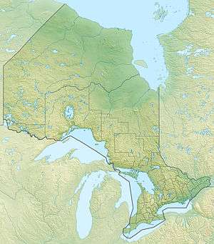 Location of the mouth of the Anima Nipissing River in Ontario | |
| Location | |
| Country | Canada |
| Province | Ontario |
| Region | Northeastern Ontario |
| District | Nipissing |
| Municipality | Temagami |
| Physical characteristics | |
| Source | Anima Nipissing Lake |
| • location | Banting Township |
| • coordinates | 47°15′34″N 79°54′22″W |
| • elevation | 300 m (980 ft) |
| Mouth | Lake Temagami |
• location | Aston Township |
• coordinates | 47°9′44″N 80°3′51″W |
• elevation | 300 m (980 ft) |
| Length | 14 km (8.7 mi) |
Course
The Anima Nipissing River begins at the south end of Anima Nipissing Lake at an elevation of 300 m (980 ft). It flows southwest into McLean Lake then comes out at Red Squirrel Road where it continues along this road for about 2.5 km (1.6 mi). The river continues south into Red Squirrel Lake and then exits at the lake's northwest end where it travels some 3.2 km (2.0 mi) to its mouth at Ferguson Bay of Lake Temagami. The Anima Nipissing River has a total length of about 14 km (8.7 mi).[1]
gollark: Correlation → causation, actually.
gollark: I use a trackpad because I have not bothered to buy a mouse ever.
gollark: ↑ fear
gollark: https://nitter.net/pic/media%2FFMOHDdyUYAMLw9B.jpg%3Fname%3Dsmall
gollark: As you know, wasting lots of time on random initialization nonsense is a sign of good API design.
See also
References
- "The Atlas of Canada - Toporama". Natural Resources Canada. Archived from the original on 2013-12-03. Retrieved 2013-12-01.
External links
- "Anima Nipissing River". Geographical Names Data Base. Natural Resources Canada. Retrieved 2013-12-01.
This article is issued from Wikipedia. The text is licensed under Creative Commons - Attribution - Sharealike. Additional terms may apply for the media files.