Angostura, Sullana
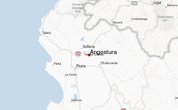
Angostura is a small village in Sullana Province, Piura Region, on the north-western coastal plains of Peru.[1] It is located approximately halfway between the towns of Chulucanas and Sullana in the Loma Blanca hills between the Chira River and the Piura River.[2]
Angostura | |
|---|---|
village | |
 Angostura Location in Peru | |
| Coordinates: 4°56′38″S 80°22′37″W | |
| Country | Peru |
| Region | Piura |
| Province | Sullana |
| Elevation | 92 m (301 ft) |
| Time zone | UTC-5 (PET) |
| • Summer (DST) | UTC-5 (PET) |
Notes and references
- Angostura (Approved - N) at GEOnet Names Server
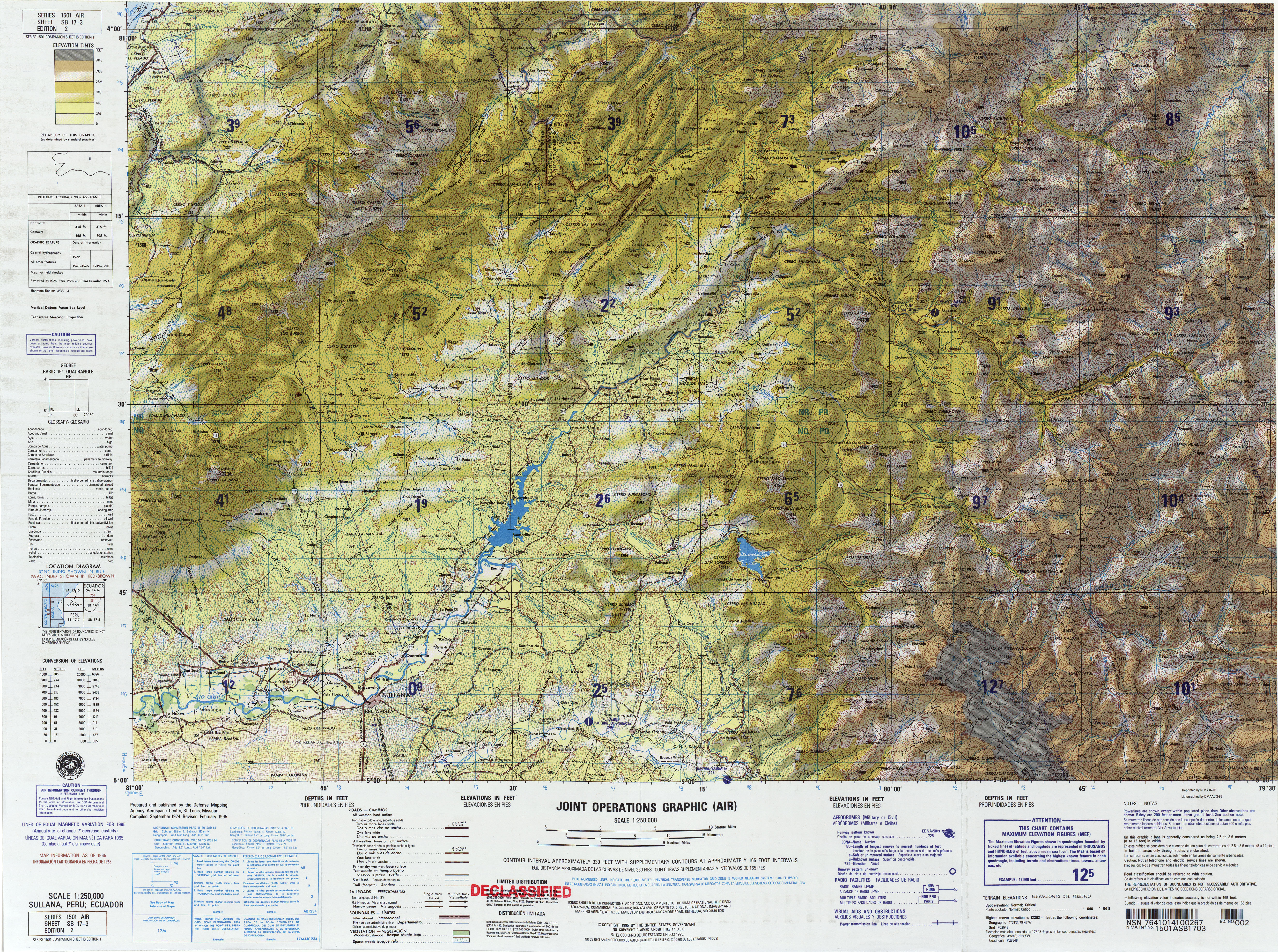
- United States Defense Mapping Agency (1995). Topographic map: Sullana, Peru; Ecuador, SB 17-03 (Map) (second ed.). 1:250,000. Series 1501 Air.
gollark: You need to be able to set out the possible mappings *and* their positions on screen.
gollark: Why not have a Turing-complete Keyboard Layout Definition Language?
gollark: What if I type it on a custom device which does keyboard input with 4 buttons?
gollark: You can't possibly handle all of them, so just force people to conform.
gollark: Again, just override the keyboard layout.
This article is issued from Wikipedia. The text is licensed under Creative Commons - Attribution - Sharealike. Additional terms may apply for the media files.