Angels Creek
Angels Creek is a 19-mile (31 km)-long[2] tributary of the Stanislaus River in Calaveras County, California in the United States. It flows generally southwest from Forest Meadows, through the foothills of the Sierra Nevada, to join the Stanislaus River in New Melones Lake.[3] The creek takes its name from the historic Gold Rush town of Angels Camp. There are two hydroelectric plants on the creek operated by the Utica Water and Power Authority.
| Angels Creek | |
|---|---|
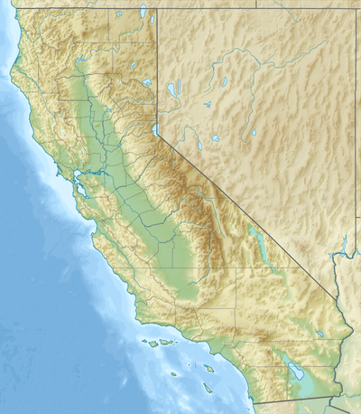 Location of Angels Creek in California | |
| Location | |
| Country | United States |
| State | California |
| Physical characteristics | |
| Source | Sierra Nevada |
| • coordinates | 38°10′04″N 120°24′04″W[1] |
| • elevation | 3,377 ft (1,029 m) |
| Mouth | Stanislaus River |
• location | New Melones Lake |
• coordinates | 37°58′34″N 120°32′36″W[1] |
• elevation | 1,050 ft (320 m) |
| Length | 19 mi (31 km)[2] |
See also
References
- "Angels Creek". Geographic Names Information System. United States Geological Survey. 1981-01-19. Retrieved 2017-03-12.
- "USGS National Atlas Streamer". United States Geological Survey. Archived from the original on 2014-05-28. Retrieved 2017-03-12.
- USGS Topo Maps for United States (Map). Cartography by United States Geological Survey. ACME Mapper. Retrieved 2017-03-12.
This article is issued from Wikipedia. The text is licensed under Creative Commons - Attribution - Sharealike. Additional terms may apply for the media files.