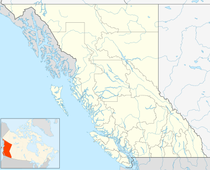
Alice Arm, British Columbia
Alice Arm is a locality, former post office, and steamer landing on the North Coast of British Columbia, Canada, located on the east side of Observatory Inlet at the mouth of the Kitsault River. There are still a number of houses standing and several seasonal homeowners who still access their houses every year. It was the location of a short rail line that accessed the mine.
Alice Arm | |
|---|---|
 Alice Arm Location of Alice Arm  Alice Arm Alice Arm (Canada) | |
| Coordinates: 55°29′00″N 129°28′00″W | |
| Country | Canada |
| Province | British Columbia |
| Area code(s) | 250, 778, 236 |
Name origin
See Alice Arm for the origin of the name.
gollark: It looks like a timezone issue.
gollark: Hmm, so, I have an idea of what it appears to be doing but not why.
gollark: --remind 70m 70m test
gollark: --remind 50m test
gollark: More tests required, hm.
References
This article is issued from Wikipedia. The text is licensed under Creative Commons - Attribution - Sharealike. Additional terms may apply for the media files.