Algés (Oeiras)
Algés (Portuguese pronunciation: [aɫˈʒɛʃ]) is a former civil parish in the municipality of Oeiras, in Lisbon metropolitan area, Portugal. In 2013, the parish merged into the new parish Algés, Linda-a-Velha e Cruz Quebrada-Dafundo.[1] The population in 2011 was 22,273,[2] in an area of 1.98 km².[3] The parish is located near the Tagus river, between the town of Oeiras and the capital city of Lisbon. It is also a part of the Greater Lisbon Area. It is mostly a residential suburb.
Algés | |
|---|---|
 Coat of arms | |
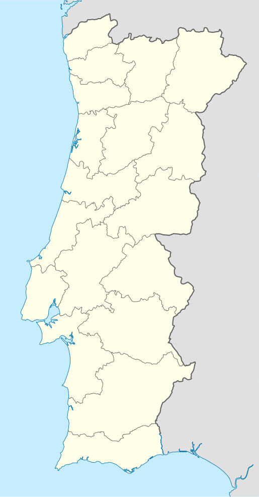 Algés Location in Portugal | |
| Coordinates: 38.7°N 9.233°W | |
| Country | |
| Region | Lisboa |
| Metropolitan area | Lisbon |
| District | Lisbon |
| Municipality | Oeiras |
| Disbanded | 2013 |
| Area | |
| • Total | 1.98 km2 (0.76 sq mi) |
| Population (2011) | |
| • Total | 22,273 |
| • Density | 11,000/km2 (29,000/sq mi) |
| Time zone | UTC±00:00 (WET) |
| • Summer (DST) | UTC+01:00 (WEST) |
| Postal code | 8A Rua Parque dos Anjos (8A) P-1495-100 Algés |
_3.jpg)
Algés
Algés was elevated to a town on August 16, 1991, and the parish was officially created on June 11, 1993, after separating from the parish of Carnaxide.
Sport
- União Desportiva e Recreativa de Algés (UDRA)
- Sport Algés e Dafundo
gollark: Remember to enter the raffle! Three days to go!
gollark: _has entirely missed ND raffle due to growing a few mageia xenos_
gollark: I basically just start with one random one then add others as eggs' time drops.
gollark: Adding stuff manually is very boring.
gollark: I need to somehow automate hatchery use.
References
- Diário da República. "Law nr. 11-A/2013, page 552 82" (pdf) (in Portuguese). Retrieved 29 July 2014.
- Instituto Nacional de Estatística
- Eurostat Archived 2012-10-07 at the Wayback Machine
This article is issued from Wikipedia. The text is licensed under Creative Commons - Attribution - Sharealike. Additional terms may apply for the media files.